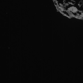
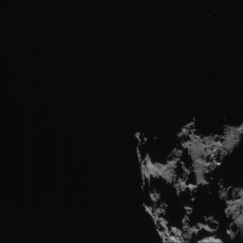
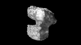
Four-image NAVCAM montage comprising images taken on 7 September from a distance of 51 km from comet 67P/C-G.
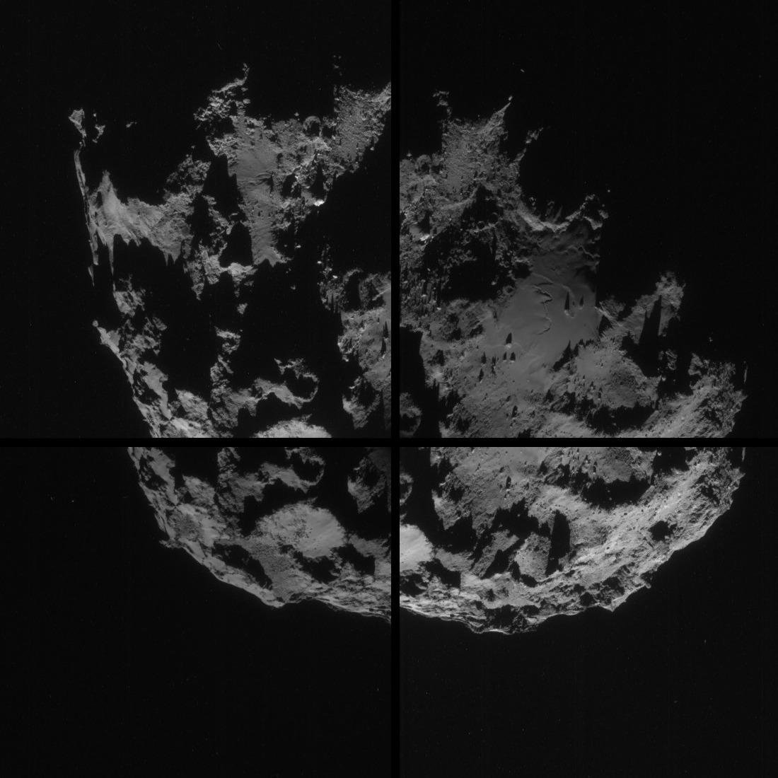
Four image montage of comet 67P/C-G, using images taken on 7 September. The four images are shown separated by black borders and there is some overlap between adjacent frames, so that some features appear in more than one image; the montage has been cropped to remove most of the black space around the comet. Credits: ESA/Rosetta/NAVCAM
Regular followers of this blog are familiar with how NAVCAM image sequences are now being taken, but you can read more about it in previous blog posts: CometWatch update, Make a NAVCAM mosaic and CometWatch – 2 September.
As before, we invite you to create a mosaic using these four images (posted below as individual JPEGs of the four 1024 x 1024 pixel full-frame ‘corners’). An example, with some adjustment of the intensity and cleaning of the background noise, is shown here:
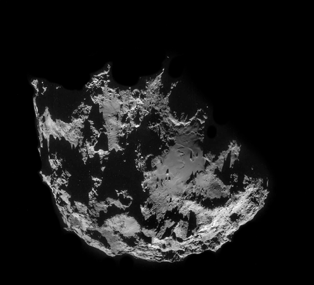
Four image montage of comet 67P/C-G, using images taken on 7 September (with some intensity adjustment and background noise cleaning). Credit: ESA/Rosetta/NAVCAM
We wish to thank again those of you who produced and shared your mosaics using images from the CometWatch updates posted last week. You are welcome to post your efforts on your personal profiles with the ESA/Rosetta/NAVCAM credit line, and share a link to your work in the comments box below.


Discussion: 18 comments
The ‘air strip’ is no more.
Surface is changing very fast.
The new 7 Sept image covers this same area on which I am doing a comparative study. How appropriate! I will no doubt have an addition to this image.
This image is comparing and showing changes in the feature informally named “The Equatorial Plain” between the dates of 6 Aug 14 and 23 Aug 14. During this time interval numerous depressions and mounds in the range of 5 to 6 meters have appeared. The source and provenance of these features is unknown. However, it seems not likely that this many small impact craters have been formed or boulders emplaced, so the origin is intriguing and mysterious.
This area is a likely source of the large, broad dust jet seen to the lower left of the 2 Sept 14 image of the dust jets.
https://univ.smugmug.com/Rosetta/i-q6tNgVx/0/L/_compar_20140806_to_21040823-annot-L.png
–Bill
Another mosaic to share:
https://www.pasteall.org/pic/show.php?id=76731
🙂
Veaztufzk play of the shadows!
This is our contribution:
https://flic.kr/p/p8urqj
Thanks for sharing NavCam team.
In general nice but compared with the latest Osiris picture from about the same distance still quite poor. The reason to this is not the number of pixels alone, a major difference is the larger dynamic range and other facilities that the Osiris camera has. The objective is of better quality and it also can select a proper spectral band with its color filter wheel. The Navcam is optimized for its purpose and making good pictures to meet the eye is not an optimization parameter. Possibly we will get pictures taken from 10 km distance then the detail resolution will increase a factor of 25. If i may guess this picture has a 5 square meter recognition size then at a 5 times shorter distance a details size of 5/25= 0.2 square meter details will be recognized. As the Philae has about one square meter projection size it is possible to observe it whit the Navcam and even a lot better with the Osiris camera.
Oops.
In the second post in these comments I not that there are several “new features” seen on the Navcam image of 23 Aug 14. This observation may be erroneous. On today’s Navcam image ( “ROS_CAM1_20140907_A” ) these “new features” do not seem to be present, on preliminary examination of the image.
I will leave this image posted since it is one in a series of comparative images and I will plan to post a new set of comparative images which include today’s image.
Such is life…
–Bill
Hi Bill, I have not seen the new one, but just as a possibility in a lot, is the angle of sun. Another very far shot is that of fluidization.
In your comparative there is at least a 30º visual difference and a 90º solar angle. Definitely present there on that day.
Please take a look a 66,44 in the new photo. Being x axis 100. Very Interesting…
Estimating a subduing wind structure is creating the wave pattern and the two jets. Yeah! It is waking up 🙂
I would expect these depressions to be more evident as their shadows would have been more extreme with this low angle of the sun. Yet, even at a low angle of the sun in the Sep 7 image these depressions are not visible. All other images are pretty extreme as evident in my shadow comparisons with the Aug 15 image. But, contrary to what should be occurring, something seems unusual right now.
https://celestialimaging.blogspot.com/2014/09/67pc-g-comparing-shadows-and-angles.html
The Sep 7 composite has been updated on my CometWatch page as well as the Aug 5-Sep 7 Image Sequence Animation on my site.
https://celestialimaging.blogspot.com/p/comet-watch.html
Are there plans of releasing the Sep 3-6 images? I would like to make my full sequence more complete.
In the good of your comparative better wait for the next photo of “The Equatorial Plain”.
What do you think would be the larger changes with my originally submitted comparison and the next Equatorial Plain photo?
Any idea the solar angle for the image?
Any thoughts on the validity of measuring structure size? Or will the surface change too much a it moves closer to perihelion for it to be important?
What is the pixel to surface measurement for the 1024 pix images at the 51km range?
No idea. This particular submission is not even zoom-able.
Please keep working on those images.
This is a comparative series of images centered on a feature informally named “The Equatorial Plain” located near 0 degrees longitude on the large sphere of the comet. It shows this feature on the dates of 6 Aug, 13 Aug, 15 Aug, 23 Aug and 7 Sept 14 with the OSIRIS imager or the NavCam. The images are presented in a similar scale of 1 meter per pixel and with a similar orientation.
Source: ESA/ROSETTA
https://univ.smugmug.com/Rosetta/i-tDpXbMF/0/L/_compar_20140806_to_21040813_to_—-L.png
–Bill