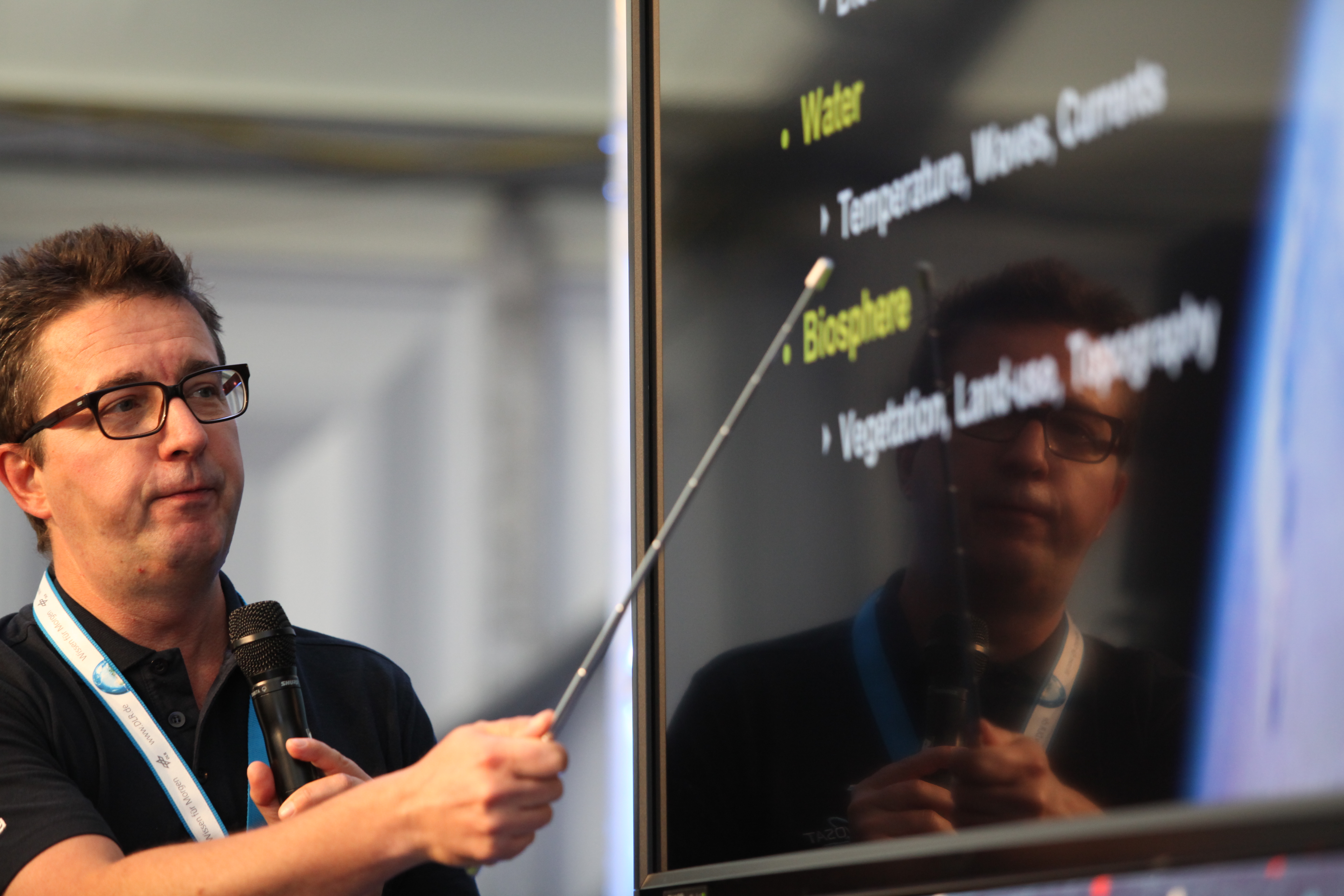
Robert Meisner of ESA explains some of the applications of Earth observation satellites Credit: DLR/ESA/A. Morellon (CC-BY 3.0)
Robert Meisner of ESA delivered the first full presentation of the day, telling us about what can be seen from Earth observation satellites.
The satellites do not resolve images down to individual human faces, but the impact of humans on Earth can be seen in a whole number of ways.
Different kinds of vegetation can be seen using false colour images based on different wavelengths.
Agriculture and mining leave clear marks on the landscape – and sometimes there are deliberate marks too, like art drawn into mountains.
Earth observation satellites fly at a constant altitude and agencies try to make them last as long as possible.
Find out more about ESA Earth Observation here.

Jens Danzeglocke from DLR explains the International Charter where space helps to mitigate major disasters. Credit: DLR/ESA/A. Morellon (CC-BY 3.0)
Jens Danzeglocke then explained about how remote sensing and space applications can help to save people during major disasters on Earth.
He explained that the International Charter of Space and Major Disasters can be activated for floods, fires, volcanic eruptions and severe weather events among others.
Space agencies around the world are signed up to help out in the event of a disaster that can be mitigated with satellite imagery. Radar satellites can be particularly useful because they can look through clouds during incidents such as cyclones and floods.
Read about the activities of the International Charter or follow @DisastersChart.
Discussion: no comments