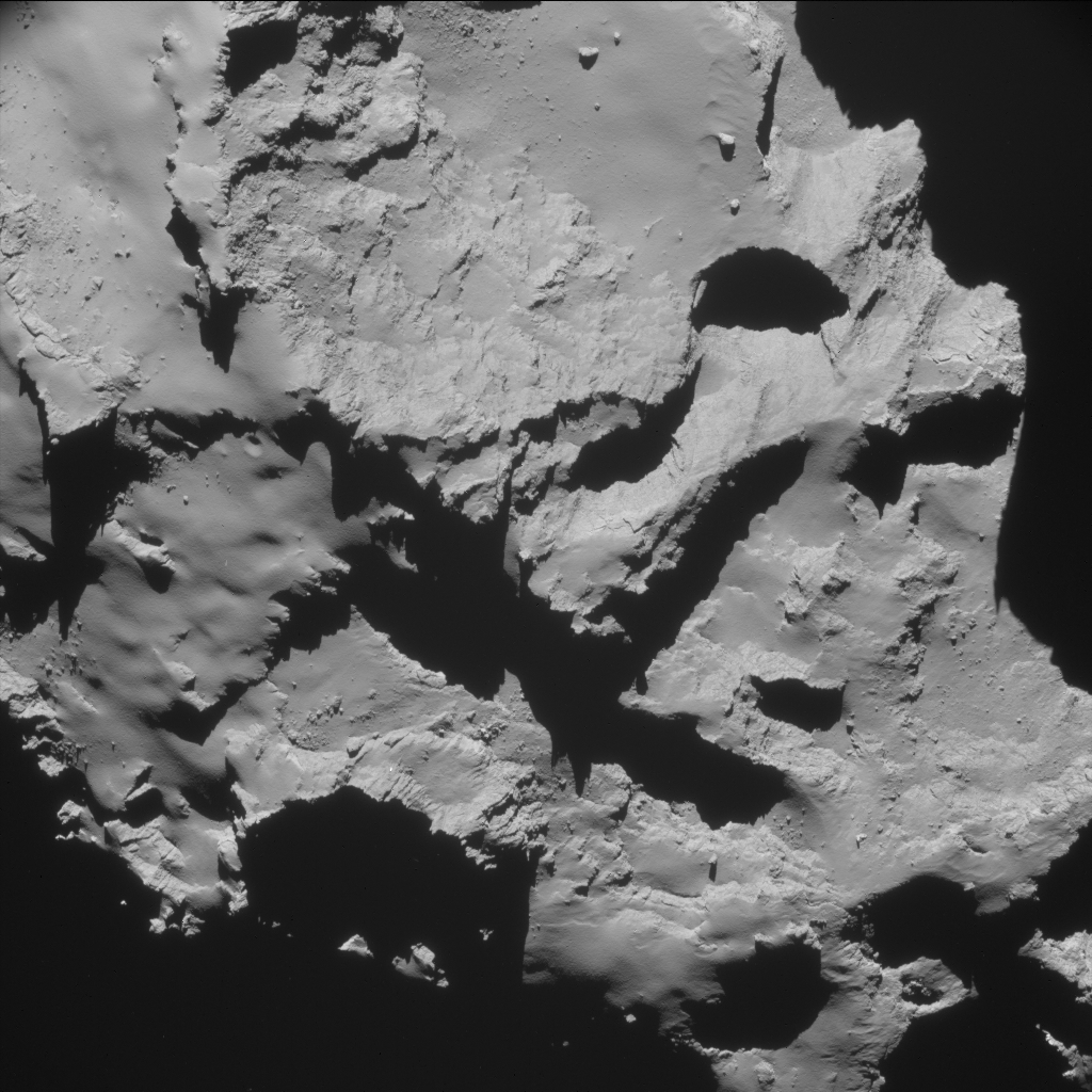
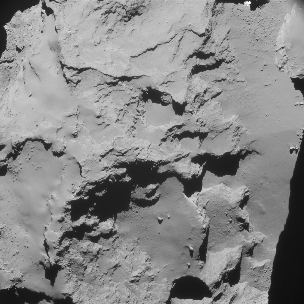
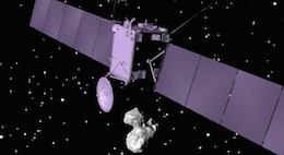
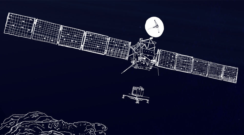
Rosetta’s Navigation Camera captured five images shortly after the collision manoeuvre last night, which were used by flight dynamics teams to confirm the spacecraft is on track to impact its target in the Ma’at region of Comet 67P/C-G.
The NAVCAM images were acquired at 22:53, 23:25, and 23:56 UT on 29 September and 0027 and 0059 UT on 30 September (on board spacecraft time) when the spacecraft was between about 20 and 17 km from the comet centre.
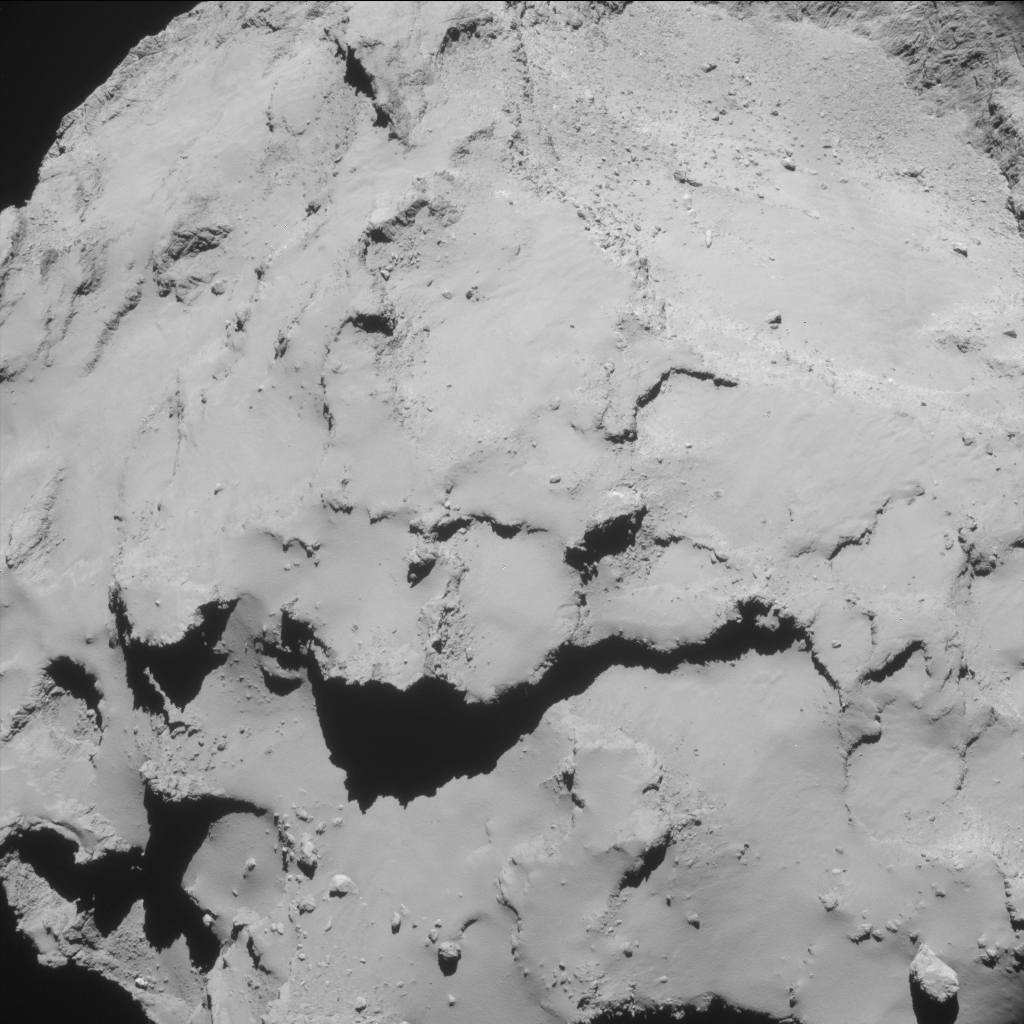
The first two images show the scan of the spacecraft over the large comet lobe, featuring the Seth, Hapi and Ash regions, before the Hatmehit and Ma’at regions on the small lobe came into view.
The full set of lightly enhanced images are presented below. Click for distance and scale info.
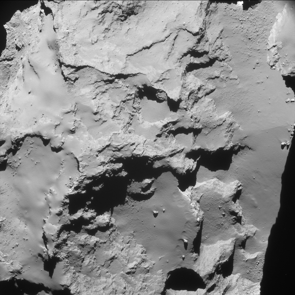
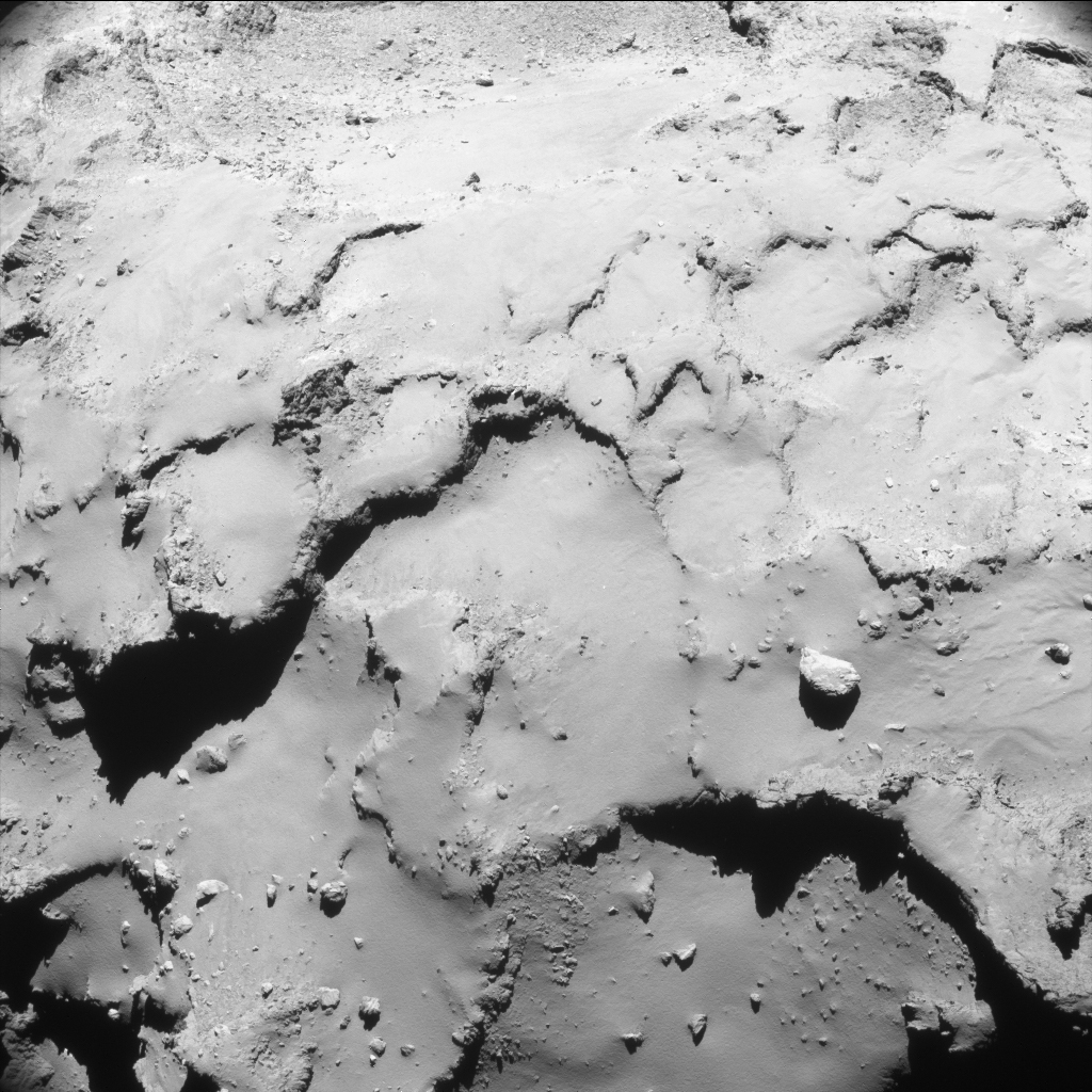
22:53UT 29 September 2016
ESA/Rosetta/NAVCAM – CC BY-SA IGO 3.0
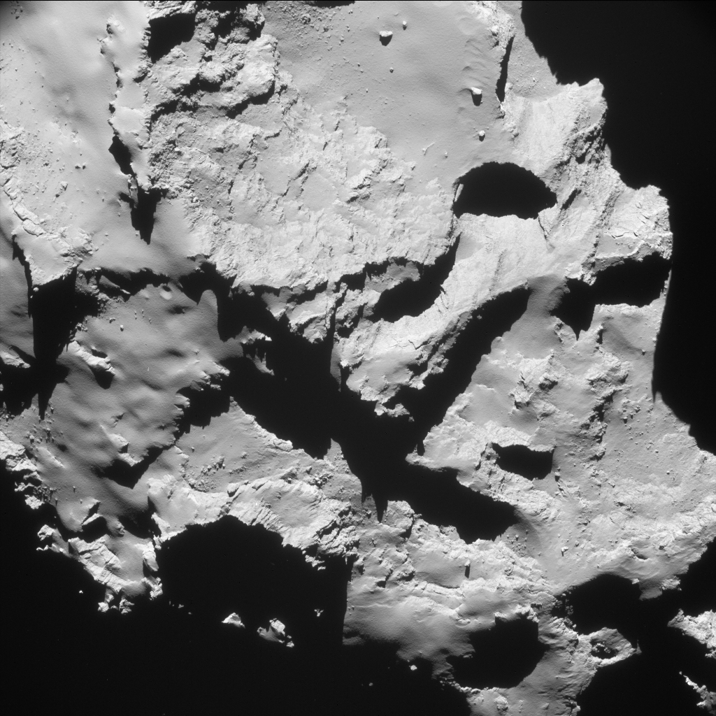
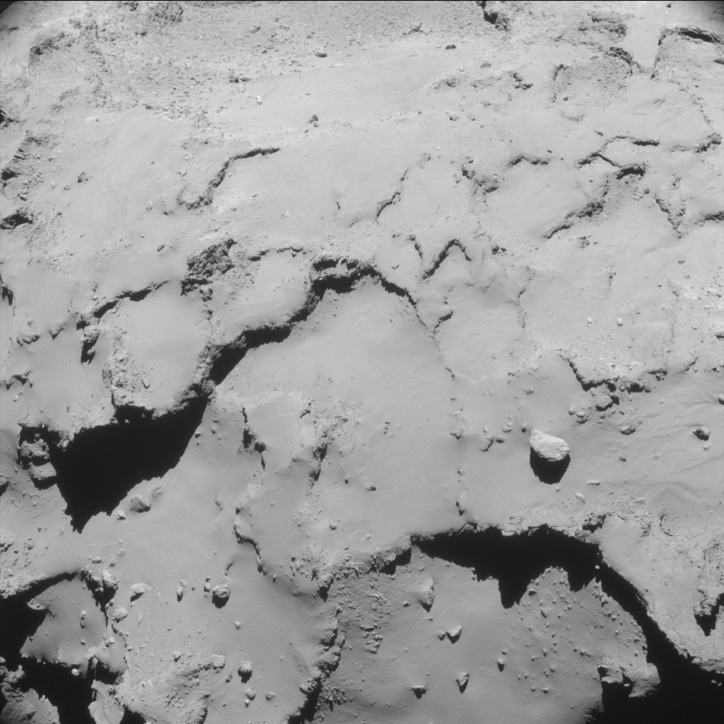
23:25 UT 29 September 2016. ESA/Rosetta/NAVCAM – CC BY-SA IGO 3.0
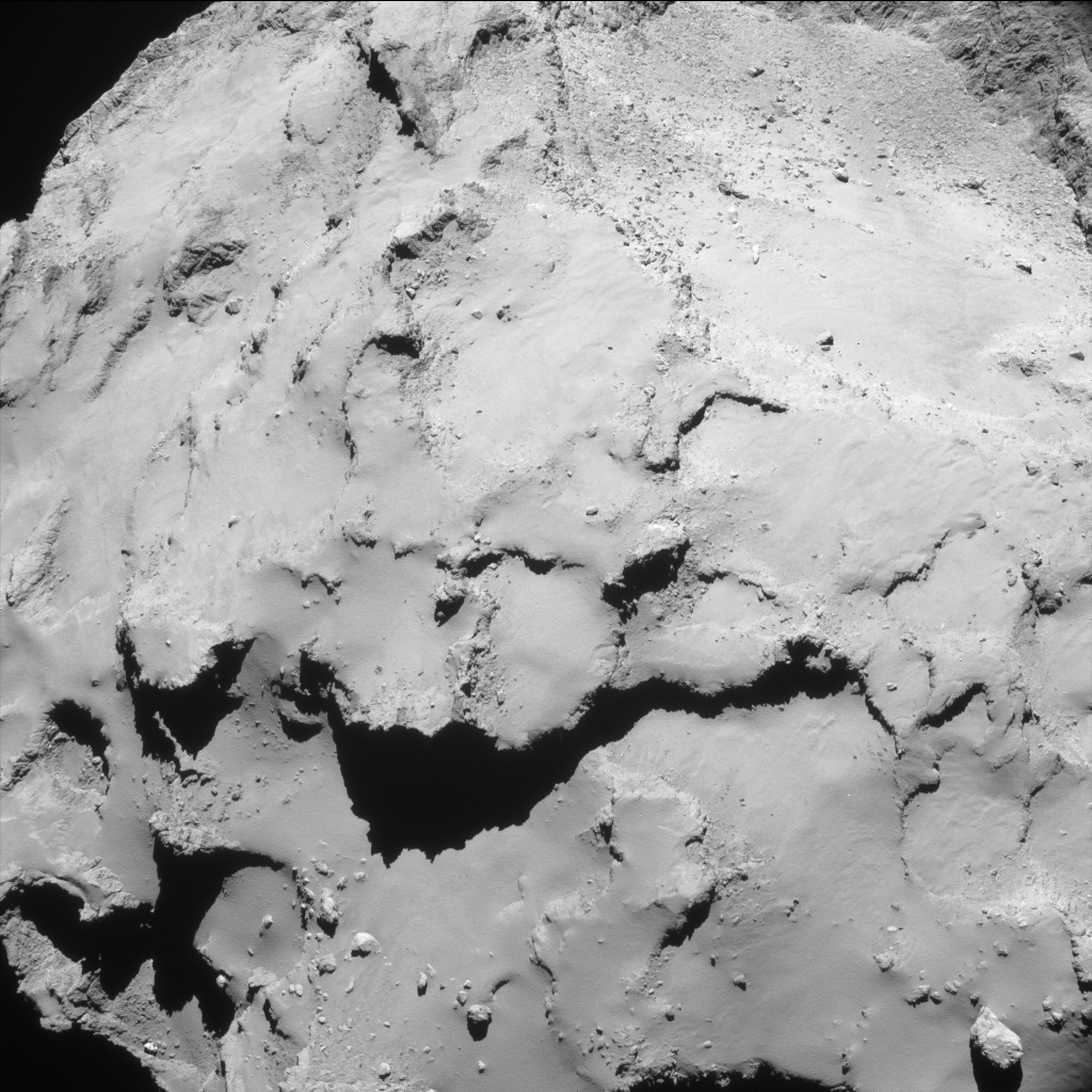
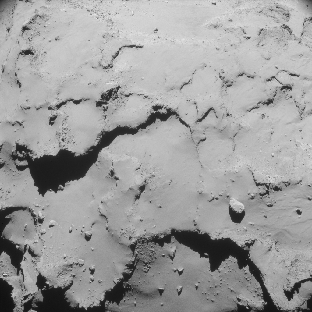
23:56 UT 29 September ESA/Rosetta/NAVCAM – CC BY-SA IGO 3.0
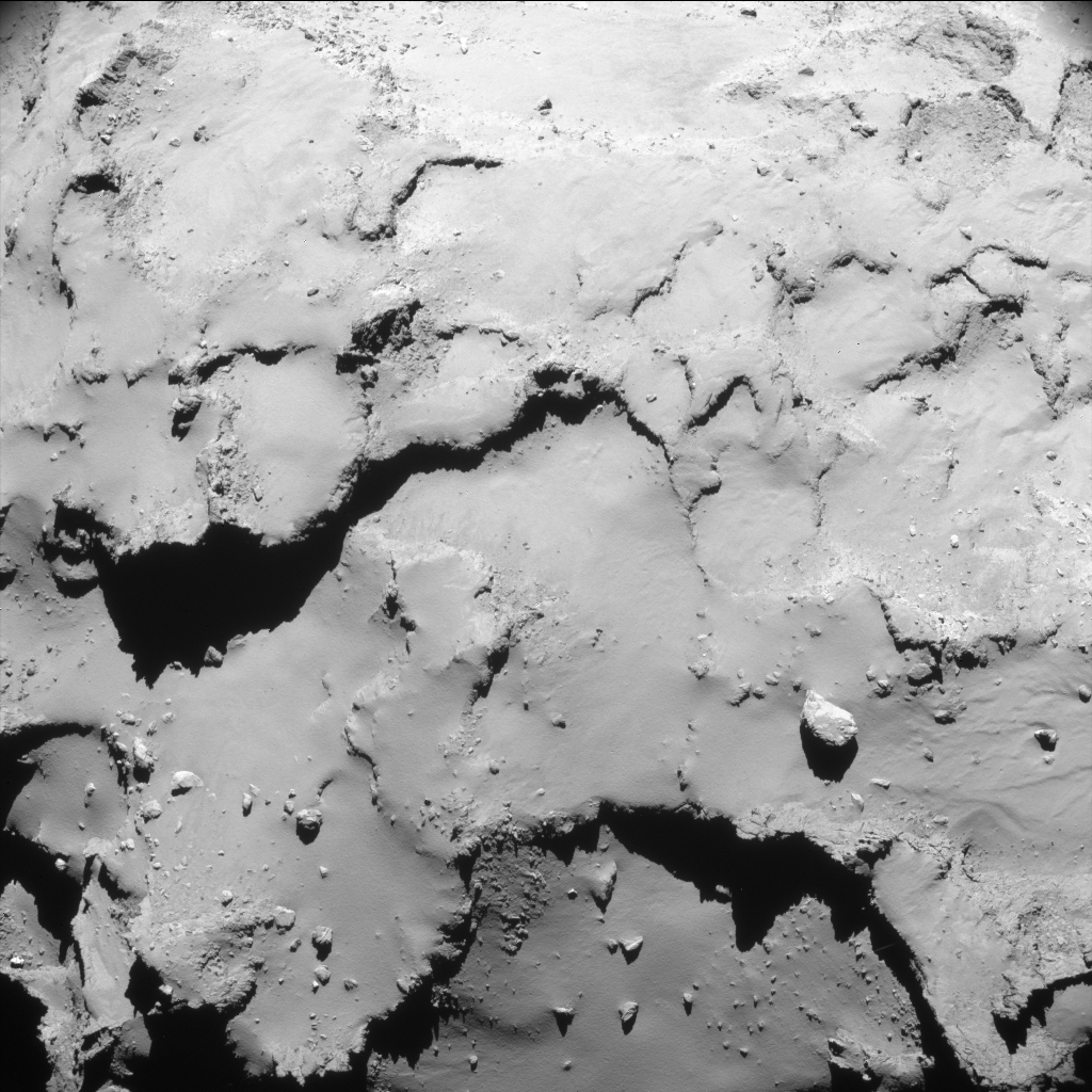
00:27 UT 30 September 2016 ESA/Rosetta/NAVCAM – CC BY-SA IGO 3.0
Lightly enhanced NAVCAM image taken on 30 September 2016 at 00:59UT. ESA/Rosetta/NAVCAM – CC BY-SA IGO 3.0
The original images are also provided below:

Discussion: 4 comments
Emily: Couldn’t have asked for better from Navcam than this jagged terrain.
Kamal
Can we see the predicted impact point ?
Fascinating One would like to know what have we learnt from this mission?
Dear Rex Johnson,
There have been plenty of studies based on Rosetta’s data, many of which presented on this blog. You can find a good summary of the most surprising results here: https://blogs.esa.int/rosetta/2016/09/26/the-surprising-comet/
Best wishes