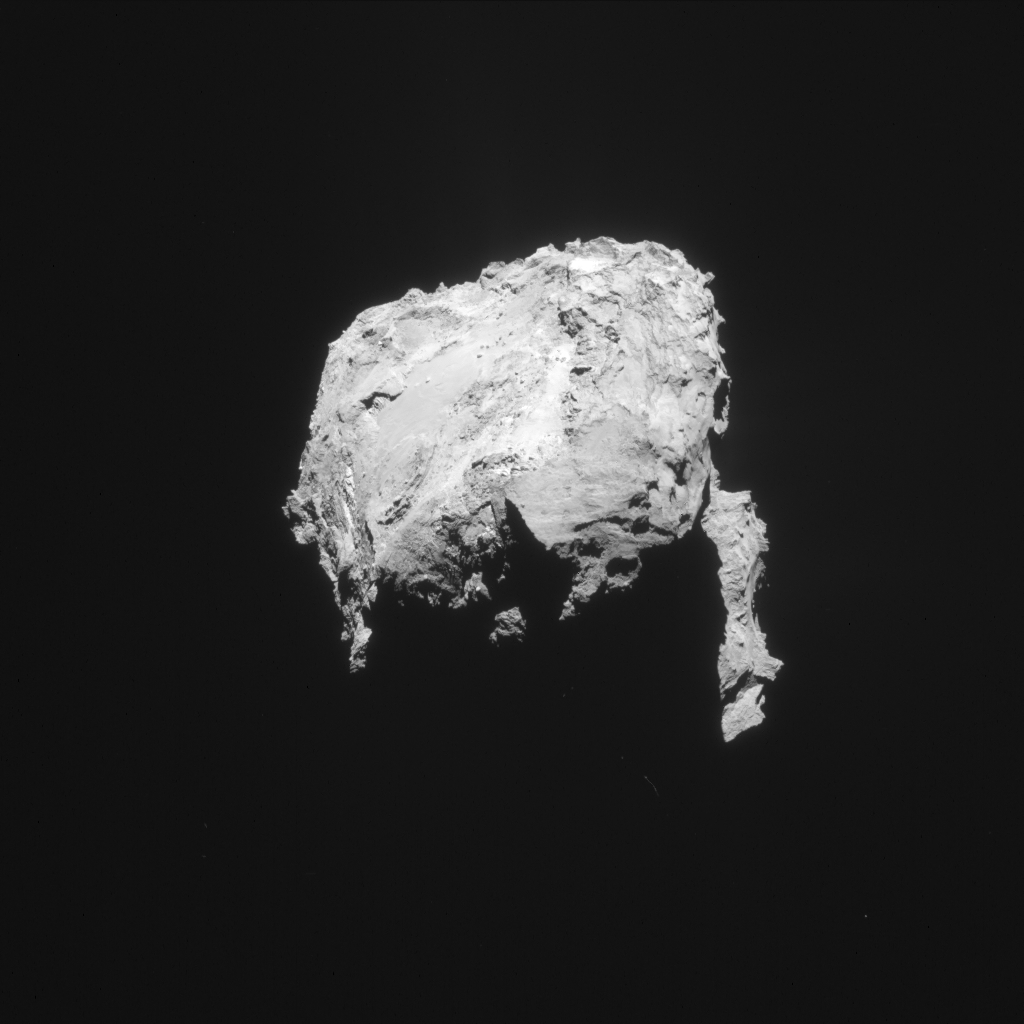
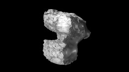
This single frame NAVCAM image was taken on 20 March 2015 at a distance of 81.7 km from the centre of Comet 67P/Churyumov-Gerasimenko. The image scale of the original 1024 x 1024 pixel image is 7 m/pixel and the image measures 7.1 km across; a cropped, processed version is shown below.
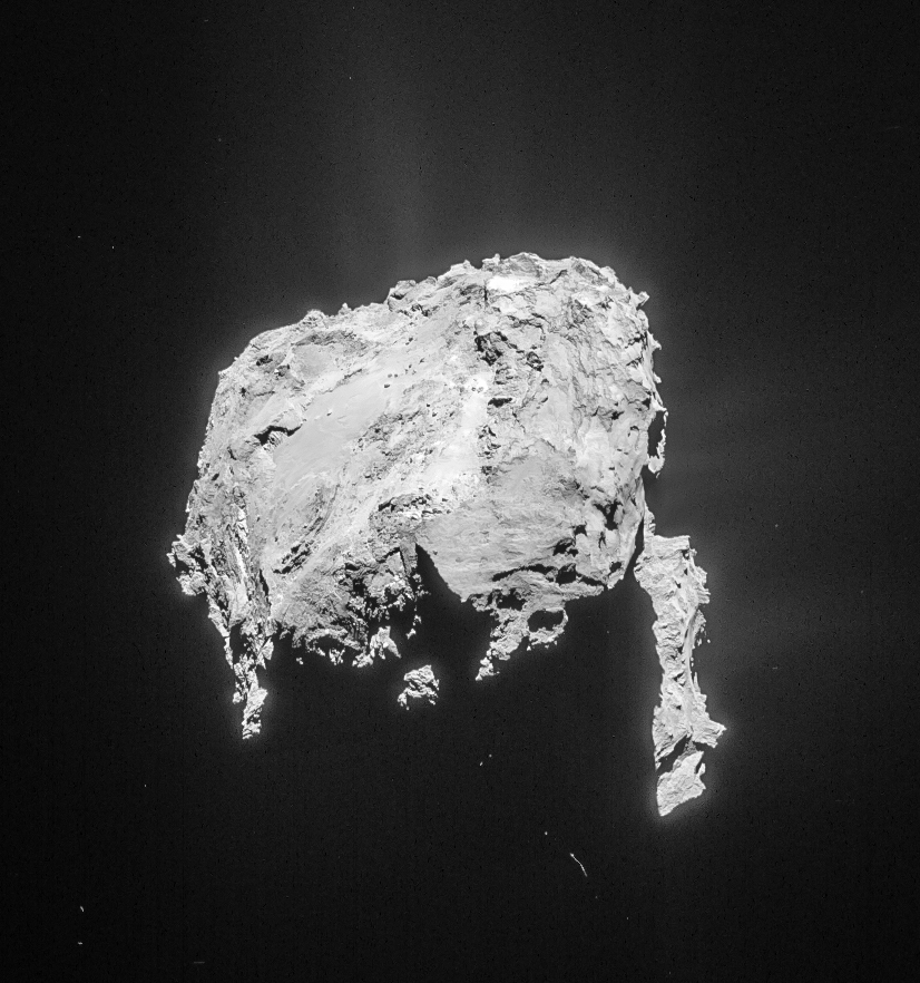
Cropped and processed single frame NAVCAM image of Comet 67P/C-G taken on 20 March 2015 from a distance of 81.7 km to the comet centre. This cropped version measures about 5.8 x 6.1 km. The image is lightly processed to bring out the details of the outflowing material. Credits: ESA/Rosetta/NAVCAM – CC BY-SA IGO 3.0
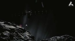
From this orientation we have a great view across the Imhotep region on the ‘underside’ of the comet’s large lobe, providing additional context for the close flyby images of 14 February. The annotated diagram below points to the approximate regions covered by the NAVCAM and OSIRIS flyby images, including the image featuring Rosetta’s shadow (bottom right image).
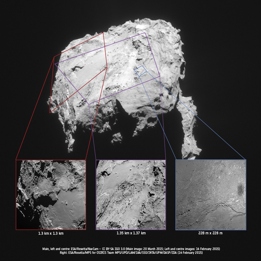
CometWatch 20 March with the 14 February flyby images added as insets. The image outlines vary in shape due to the change in relative position of the comet and spacecraft on the times/dates the images were taken.
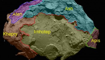
Annotated map of the ‘underside’ of the comet’s large lobe, showing the Imhotep region. Credit: ESA/Rosetta/MPS for OSIRIS Team MPS/UPD/LAM/IAA/SSO/INTA/UPM/DASP/IDA
In this orientation, the boundary between Imhotep and Ash can be seen towards the right of the comet’s large lobe. Apis is towards the bottom right, and includes the region with the sharp shadow.
Part of the comet’s small lobe can be seen to the far right of the image, the cliffs of Hathor largely in the shadow cast by the large lobe.
Meanwhile jets of cometary material can be seen rising from the nucleus; in this orientation to the top and right of the image.
The original 1024 x 1024 pixel image for 20 March is provided below:


Discussion: 5 comments
Signaling that beautiful, apparently parabolic CLF crater like feature at right margin. Suggesting a collimating jet there. Of course collimating could be related to this geometry.
Emily: Thanks for all the details. I was trying to connect these pictures to the map in https://blogs.esa.int/rosetta/files/2015/01/ESA_Rosetta_Rosina_Science.jpg to see where the CO2-rich coma emissions are, and got lost because how the longitudes run on this picture is not clear to me (also for the comparison I inverted the picture which may have done a lateral transposition). My guess is the high-CO2 emissions are further in the Ash region, is that correct?
It’s actually on the left side of this picture, not the right side. So it’s still firmly in Imhotep. The anomalies (red in your link) are centred roughly on the area from the circle (seen as an ellipse here) running around the gentle scree slope as far as the protruding white boulders. This area can be seen more easily in the coloured map above. The circle touches the bottom of the frame and the boulders, appearing as one little spiky protrusion, are above and to the right of it. The red area in your link bleeds away across the Imhotep plain to the left in the coloured map and away from us in the main photo. The right hand edge largely follows the top rim of the scree slope.
Hi Lodaya. That drawing seems to suggest 4 Poles. One North around the neck and another on top of head. Plausible on bi-lobe objects. To much not to be commented. Just a perspective issue.
The other South Pole being around right cheek.