


From Tania (ESA), Kangerlussuaq, 20 April
It is perhaps somewhat ironic that the P-band imaging SAR designed for forest biomass mapping on the Earth Explorer candidate mission Biomass could also provide unique information on ice sheets in the cryosphere. However, a number of scientific studies have shown that long-wavelength P-band radar images to map forest biomass, may also be highly useful to monitor ice movement on ice caps.
Even more tantalisingly, since P-band radar penetrates into the snow surface much more than other radar frequencies, images from Biomass could potentially provide a glimpse of ice structures beneath the surface.
So, enter ESA campaigns to test and document this potential !
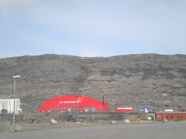
Kangerlussuaq, Greenland
This weekend, for the first time a new airborne P-band imaging radar instrument developed for ESA by the Danish Technical University (DTU) will take to the skies above the Greenland ice sheet. Making use of the same sturdy Twin-Otter plane used recently in the CryoSat CryoVEx campaign in northern Canada, the instrument appropriately called Polaris will fly multiple lines straight out of Kangerlussuaq onto the nearby ice sheet for several days.
Interestingly, this will mark only the first of three flight sessions over the same area, spaced about 20–30 days apart. By cleverly combining the images collected during each session, scientists hope to illustrate the potential of the Biomass mission to monitor ice movement at continent scales, for instance across Antarctica.
Pushing technology and current radar processing techniques to its limits, scientists from DTU and the Politecnico di Milano participating in the campaign are also hoping to demonstrate 3D subsurface mapping at P-band.
For the moment, however, the team and aircraft are assembling today in Kangerlussuaq, Greenland and getting ready for the flights during the next few days. The sky is blue and very little snow remains on the ground. The coming days promise to be interesting.
Discussion: no comments