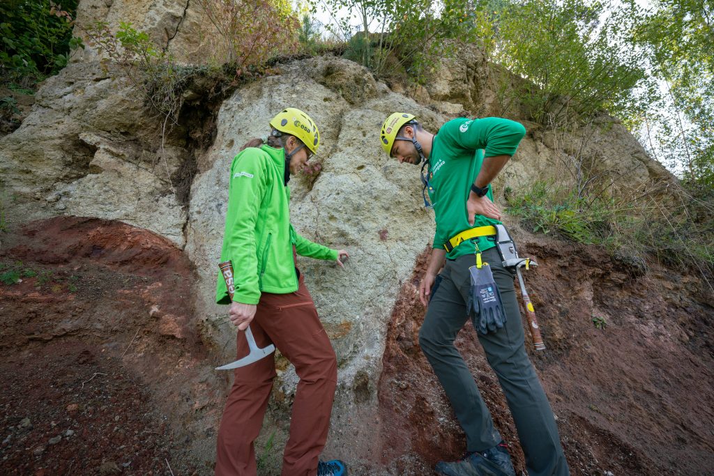
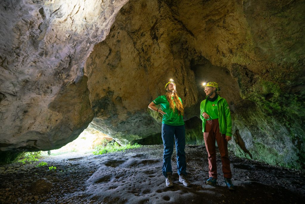
Carolyn van der Bogert nurtured her passion for lunar geology long enough for her space dream to come true, albeit in a different way and at a different time. This researcher from the Institute for Planetology at the Universität Münster in Germany, joined ESA’s PANGAEA to train astronauts in how to read her favourite geological history book – the Moon.
“I am really excited to share the geology of the Moon with the trainees, so that they can go and do what I wanted to do on the lunar surface,” says Carolyn after concluding her lessons on volatiles, choosing landing sites, and planning moonwalks.

The course participants in the seventh PANGAEA edition are ESA astronaut Rosemary Coogan, member of the European astronaut reserve Arnaud Prost, and Norishige Kanai from the Japanese space agency.
“Rosemary, Arnaud and Norishige have all science backgrounds, so they are using their observational skills and deductive reasoning to compile and understand a huge amount of information and to ask really good questions,” she praises.

Moon landing sites driven by science
The third Artemis mission will see astronauts land on the lunar South Pole to explore and retrieve scientifically relevant samples. It takes years of meticulous planning to choose a dozen potential landing sites and design exploration missions for the astronauts.
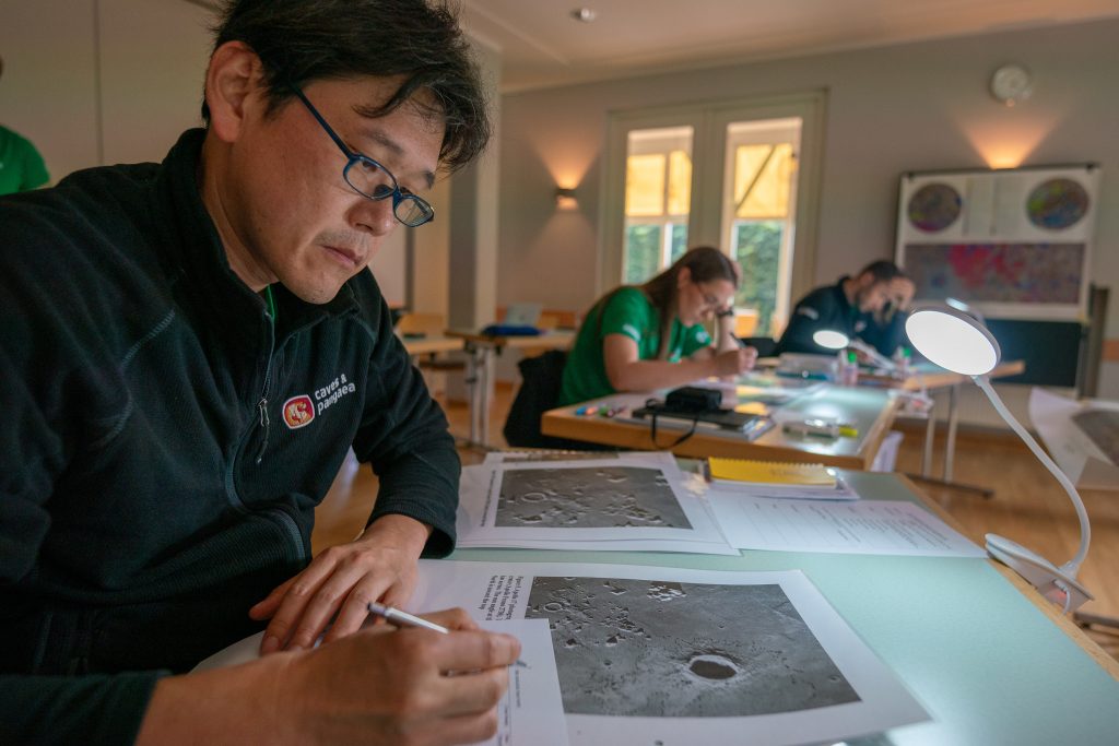
Carolyn talked to the trainees about the different strategies for choosing a landing site. “We explained how the spacecraft, communications, space suits, and tools might constrain them. Besides all of that, their primary goal should be to get as much science as possible out of each landing site,” she says.

She used the Schrödinger basin as a case study. “The Schrödinger crater is a potential landing region where you can answer the most science questions in one place. But where exactly would you land, how far would you rove, which rocks would you sample and why?” asks Carolyn.
The trainees worked on those questions, knowing that they had to make decisions considering a limited amount of time on the Moon.
“Time is of the essence, and training like PANGAEA helps astronauts get valuable science out of their brief moments on the lunar surface. They will be able to understand what they are seeing and can support the achievement of scientific goals through onsite experiments and sample collection,” she points out.

Planning for a moonwalk
In contrast to the Apollo missions, the Artemis missions are aiming for a more complex geological terrain on ridges and large crater rims. Mission planners will have to consider the extremely cold temperatures, the low solar illumination angles and the rugged terrain as additional challenges.
PANGAEA instructor Riccardo Pozzobon taught the trainees “geology from above”, using orbital images to better understand a landscape better and plan fieldwork.

During training in Lanzarote, Spain, participants plan their expeditions together with the scientists using orbital images. “They must take into account the terrain, mobility constraints and safety concerns while aiming to collect as much information as possible in the field to address the majority of scientific questions,” he says.
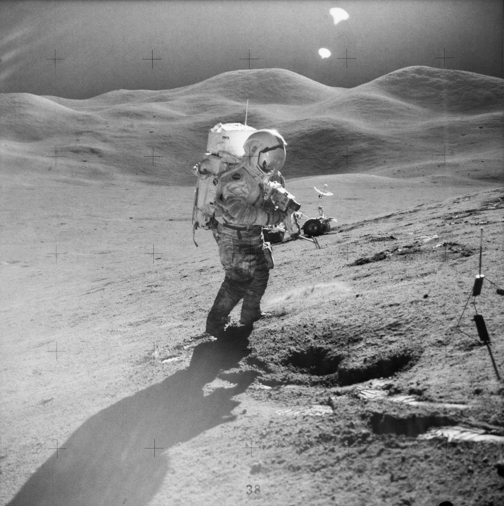
“We learned from the Apollo programme that the astronauts’ perception of distances and slopes is altered on the surface of the Moon, and that impacts how astronauts interact with the terrain,” explains Riccardo.
According to accounts from the astronauts, they had difficulties estimating distances on the Moon due to the lack of familiar reference objects (trees, man-made objects, etc.), as well as unusual solar illumination angles.
“We’re having a little trouble judging distance. How long is my Lunar Module shadow?” said Apollo 12 Commander Charles “Pete” Conrad in a recording from the lunar surface.

Later, the astronauts reported that the angle of incidence of the sunlight could affect their perception of the steepness of the terrain. They also reported difficulty climbing slopes and compared it to walking up a collapsing sand dune.
These observations were part of a paper she co-authored and published in Acta Astronautica. Carolyn also used it during her lessons to emphasize the importance of extensive environmental, scientific, and technological training of the astronauts for the success of the Apollo programme.
“PANGAEA is now laying the groundwork for the scientific success of modern Moon missions,” she concludes.

Further reading:
- Scientific perspectives of lunar exploration in Europe.
- Slopes along Apollo EVAs: Astronaut experience as input for future mission planning.
- Geological EVA science among impact craters and permanently shadowed regions near a summit ridge on Malapert Massif.
- Analyses of robotic traverses and sample sites in the Schrödinger basin for the HERACLES human-assisted sample return mission concept.

Discussion: no comments