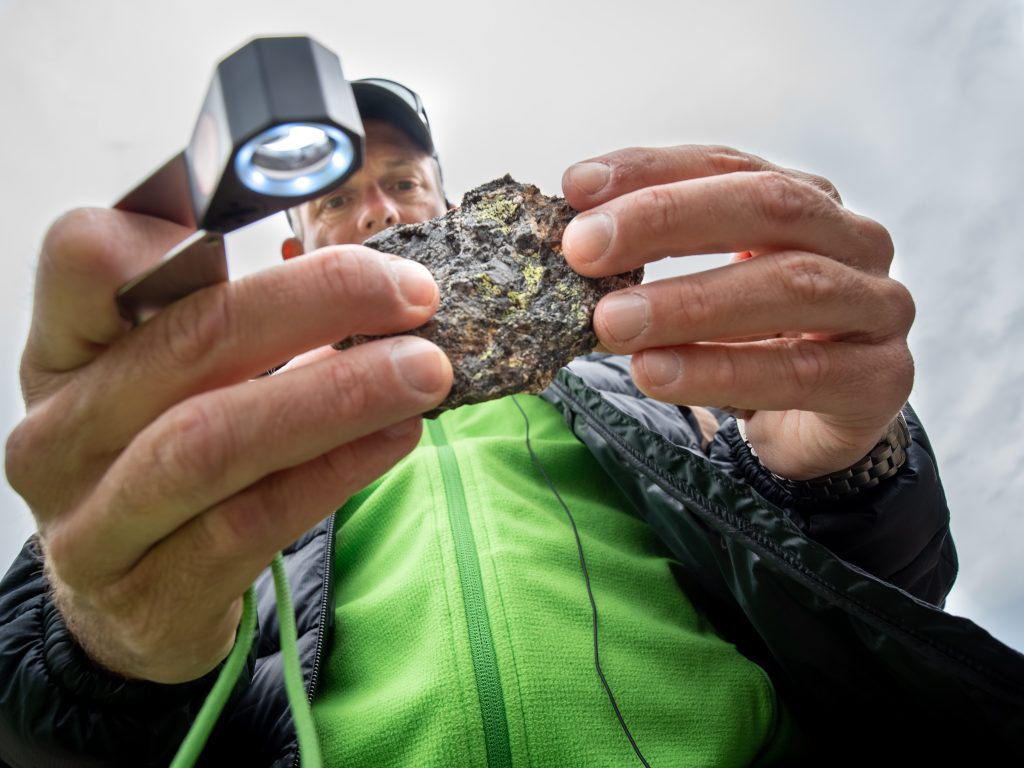
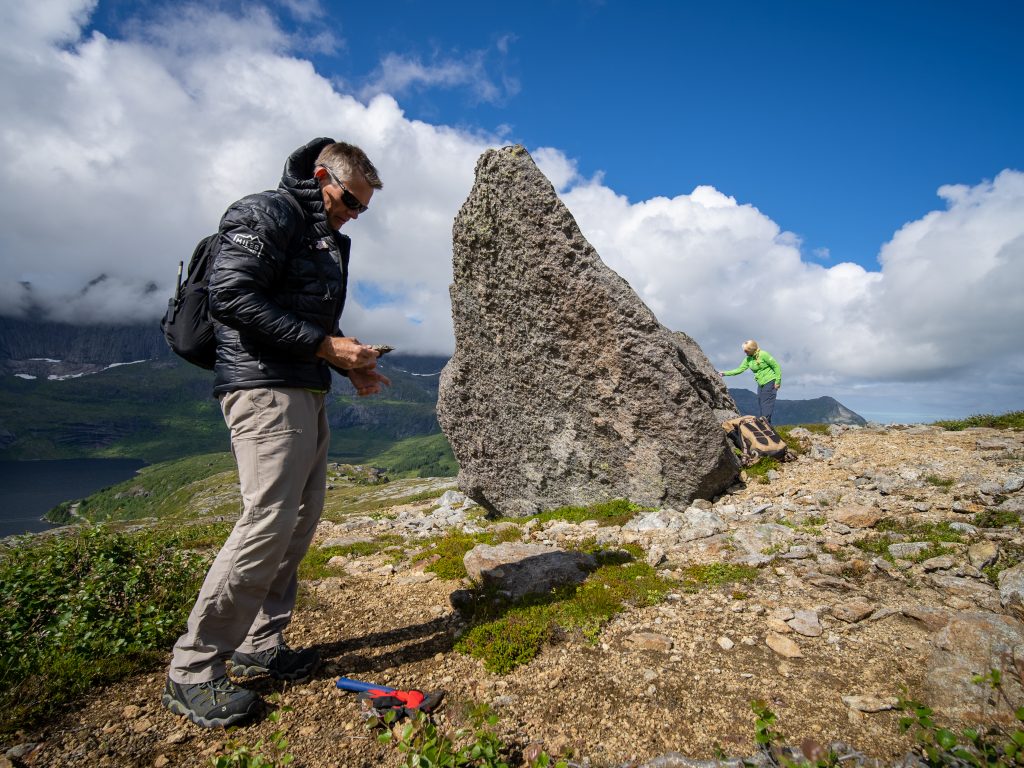
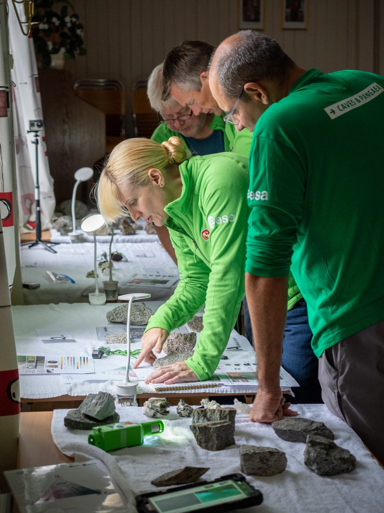
During the last session of the Pangaea training course in Norway, ESA astronaut Andreas Mogensen and NASA astronaut Kate Rubins used advanced and detailed maps to plan their expeditions in Lofoten, the Arctic enclave where they were introduced to the geology of the lunar highlands.
“Learning to look at other planets starts by looking at Earth,” says Pangaea instructor Riccardo Pozzobon.
Riccardo helps astronauts read different geological stories from satellite images and maps. He teaches what he calls “geology from above”, using orbital images to understand a landscape better and plan field work.
Kate and Andy have used satellite imagery to plan their expeditions in previous sessions, but in Norway, they were introduced to a powerful new tool to help them with this process – spectral mapping.
“Each rock reflects sunlight in its own unique way, giving away a unique fingerprint of the material it is made of. This fingerprint can be detected by special types of satellite, revealing what is sometimes hidden in visible light,” explains Riccardo.
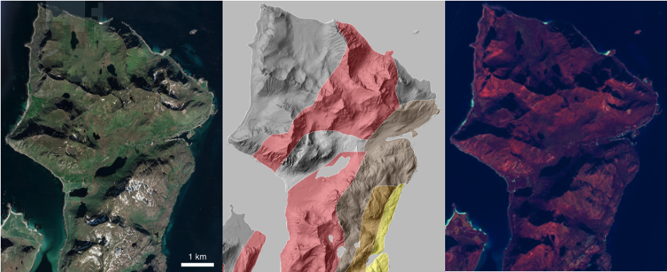
By collecting all these spectral fingerprints across an area, a map is created which can be used to gather significant insights into an area before visiting it.
“This is really the next level up for the astronauts. Before they were using orbital images and 3D models to plan their path through an environment, but now that we have introduced spectral images, they are able to see the terrain in a very different way and adjust their field work plans accordingly,” says Pangaea’s training coordinator, Samuel Payler.
The new features they observe can unravel entirely new information about an area and completely change their view of the processes that formed it.
Future missions to the Moon will make use of this technology to decide where astronauts will land and explore.
“This is exactly the kind of process scientists will follow when designing traverses for the Artemis mission, in order to make sure we reach the most interesting targets for in situ analyses and sampling, making it important for our trainees to understand,” adds Samuel.
Discussion: one comment
What virtual 3d simulator did you use?
What instruments did you use!
What 3d modeling software dose you you
During preparation
Stage
For data collection
What data integrator for instand the spectral feed did you use?
Thanks for any help you can offer
Mt research In material science design
Thank you
Or who could ii ask
Thanks