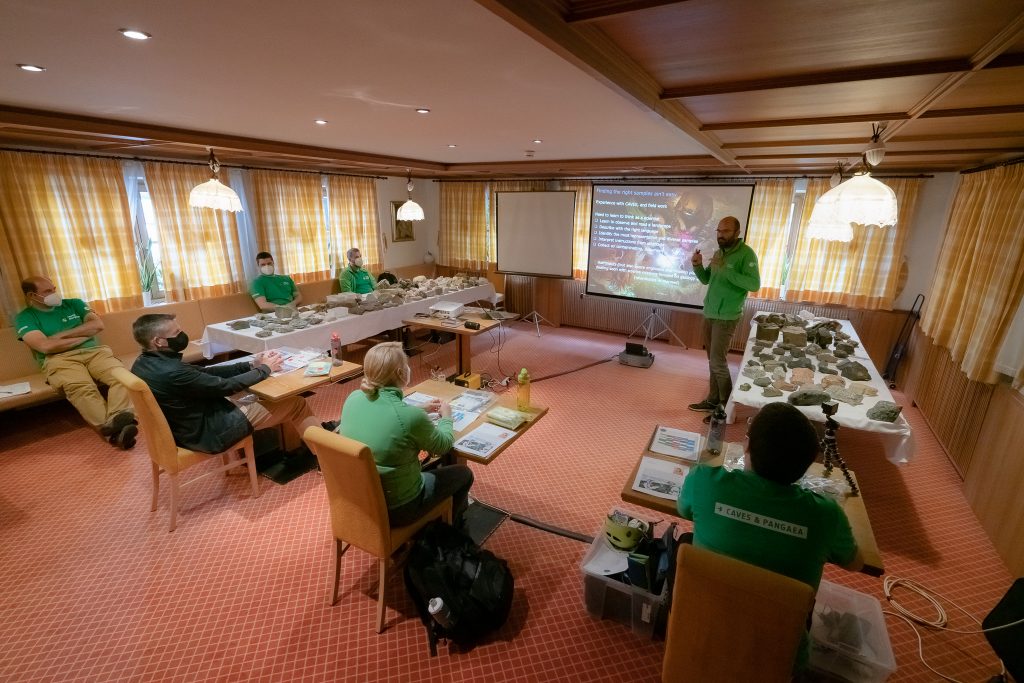
The course has come of age in its fourth edition with a greater focus on Earth’s only natural satellite. “There has never been a better time to run this course now that we are going to the Moon with NASA’s Artemis missions,” says Loredana Bessone, Pangaea’s project lead.
From selecting a landing site and planning a lunar expedition to the search for local resources, Pangaea is “an excellent foundational course to prepare astronauts for collecting rocks on the Moon and to understand why we are going back,” says training coordinator Samuel Payler.
Explorers of tomorrow
Participants of this year’s campaign are ESA astronaut Andreas Mogensen, NASA astronaut Kathleen Rubins and EAC engineer Robin Eccleston. Background lessons are followed by field trips to the Italian Dolomites, the Ries crater in Germany and the volcanic landscapes of Lanzarote, Spain, to unravel lunar and martian features on Earth.
A big fan of adventure expeditions, Andreas is looking forward to becoming a competent field scientist. “Any human mission to the Moon will have geology as one of its primary goals. This makes this course very relevant, especially for the next class of ESA astronauts,” he says.
Kathleen is part of the group of Artemis astronauts and could become the first American woman to land on the Moon. This microbiologist has spent a total of 300 days on the International Space Station and became the 60th woman to fly in space in 2016.

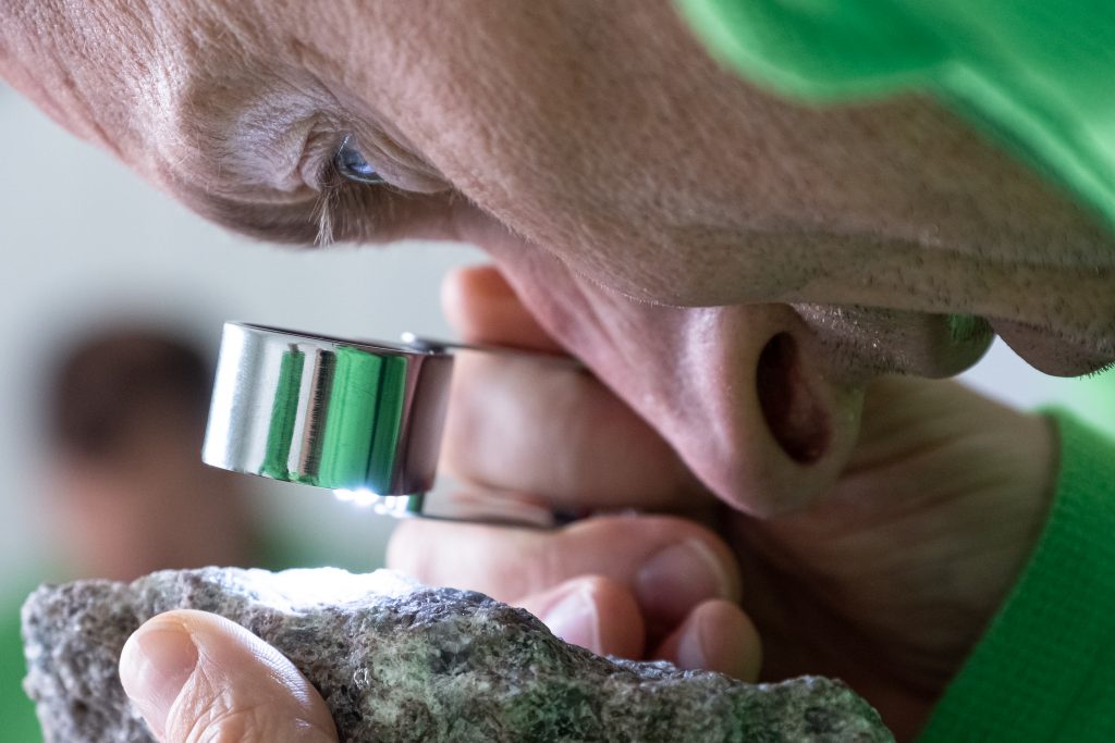
Back to geology school. Credits: ESA–A. Romeo
The Pangaea team is very motivated to train them “to be partners in Moon science and not just astronauts executing orders from Earth. They will build realistic lunar missions with us,” explains Samuel.
Getting better – and more real – all the time
Pangaea 2021 gets more real and visual with new tools. “We are bringing in virtual reality for ‘augmented science’ and more efficient operations,” says Francesco Sauro, Pangaea’s technical course director.
Back to the Moon and then onto Mars. Participants will wear a virtual reality headset to immerse themselves in a real martian landscape. Together with images and dozens of 3D maps, the trainees will see a combination of ground truth information and satellite images with the PLANetary MAPping project (PLANMAP) running behind the scenes.
“The crew will feel closer to a real planetary expedition and will choose their own path. It is quite a unique and powerful lesson, never done before in Pangaea,” explains Francesco.

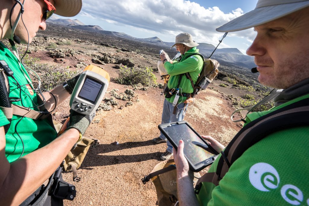
ESA is also developing a digital tool for efficient lunar expeditions. The Electronic Field Book (EFB) is an all-in-one information system that works on hand-held devices, a sort of space tablet, used to record science in remote environments. The app helps astronauts identify minerals, record each step of the space sortie, communicate with scientists on Earth and integrate inputs from microscopes and 360-degree cameras.
Three sites, one mission
Some of Europe’s top planetary scientists are giving lessons during this geological, astrobiological and operational field-training course. “We have improved our training flow with lessons increasing in complexity as the participants build up their geology knowledge,” adds Francesco.
The instructors will also talk about the diversity and tenacity of life and how to detect it during future planetary missions. Amid strict COVID-19 safety guidelines, participants will also learn about planetary protection. “How to collect samples and prevent contamination is paramount,” states Samuel.

Follow the course action in the coming weeks on Twitter via @esaspaceflight and @ESA_CAVES, on Flickr and on this blog.

Discussion: no comments