It is dark and silent inside the cave. A light breeze and the sound of a distant drop of water makes your head turn. Your senses are on full alert to choose the best path to follow next.
The habit kicks in, and without thinking you reach for the phone in your pocket. No signal, no geolocation, no calls, no data. A hundred metres inside a cave, you can forget about radio communication.
Were you here before? Where did you come from? And where did you pick up that interesting rock?
It is easy to get disoriented while scouting caves. Being underground, isolated and without visual reference points requires a change of perspective.
“Even cavemen had to evolve and embrace technology at some point,” jokes Loredana Bessone, CAVES exploration training course designer.
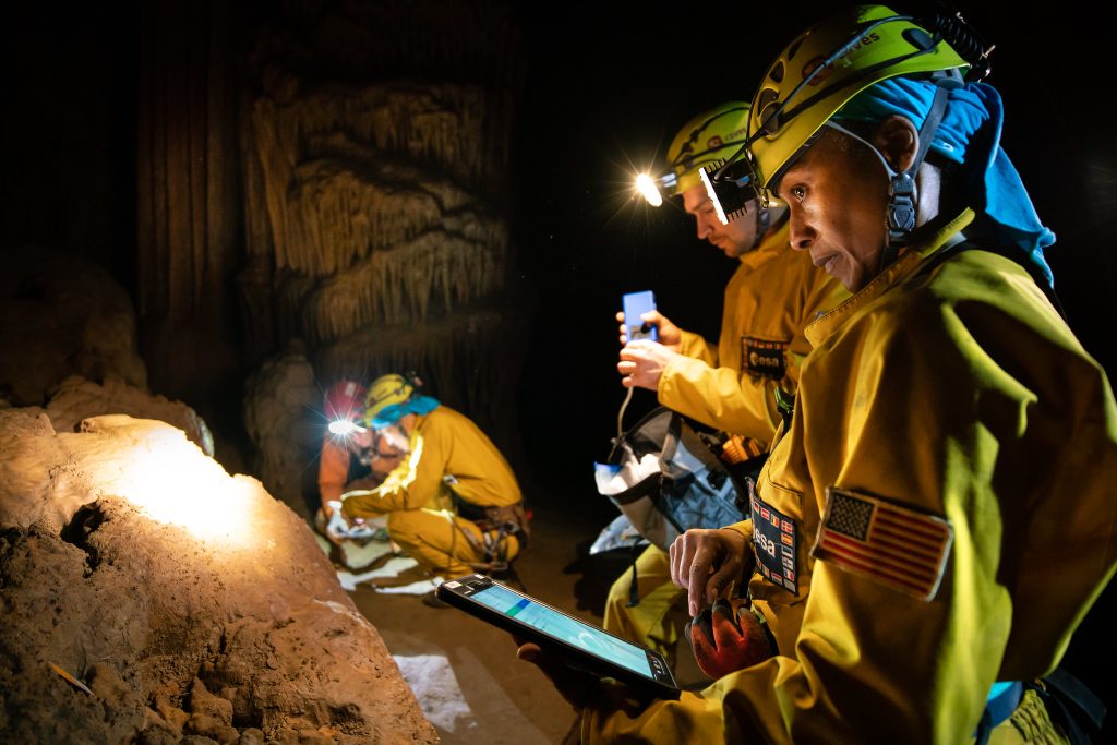
The CAVES training course takes astronauts to the depths of Earth to improve their communication, problem-solving and teamwork skills.
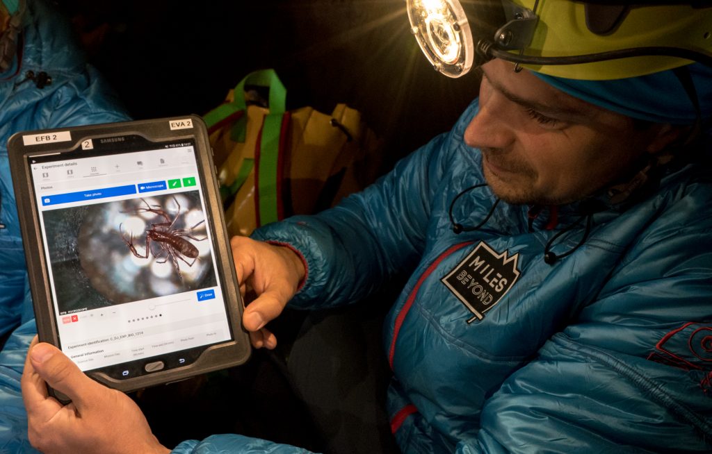
ESA is developing an application that tells astronauts where they are, where they ran scientific operations and will also connect to mission control. The Electronic Field Book is a tool that collects mission data in one place, from data to science and communications.
This all-in-one, easy-to-use app can run without an internet connection, merge data on the fly and communicate with ground teams from base camp. Recording audio and video logs is also possible – no need for pen and paper anymore.
Mapping the cave
The father of the interface is computer engineer Leonardo Turchi, who put it to use during the most recent Pangaea campaigns.
Now the the app is going into cave mode.
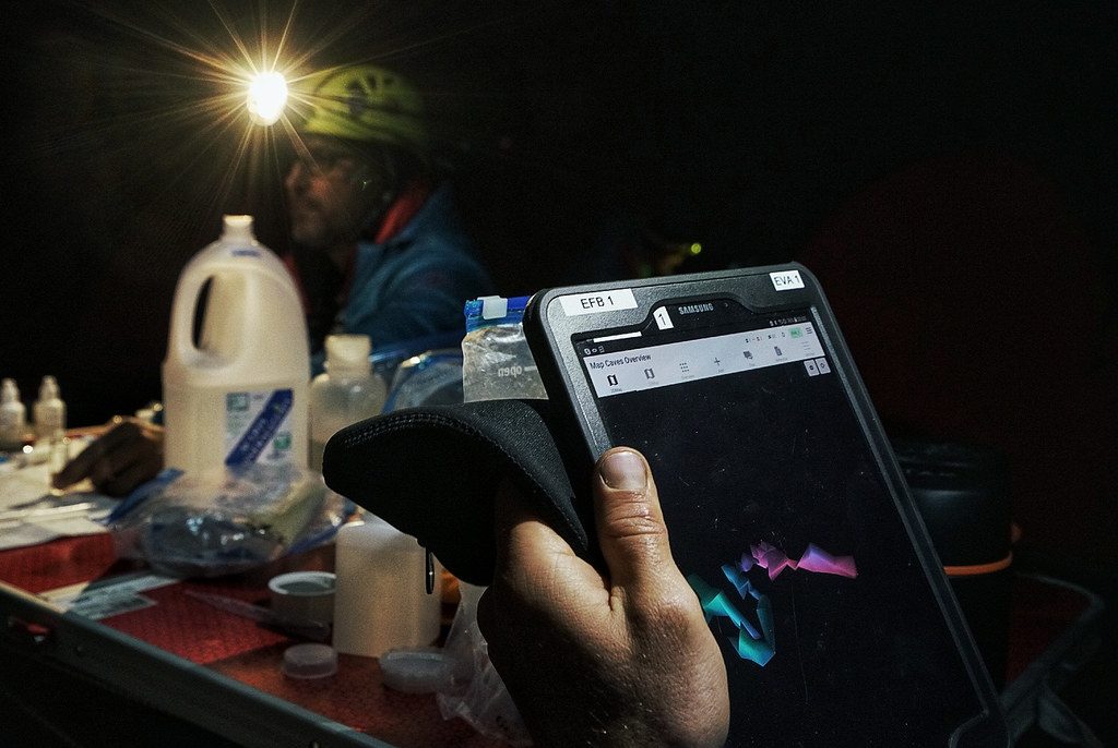
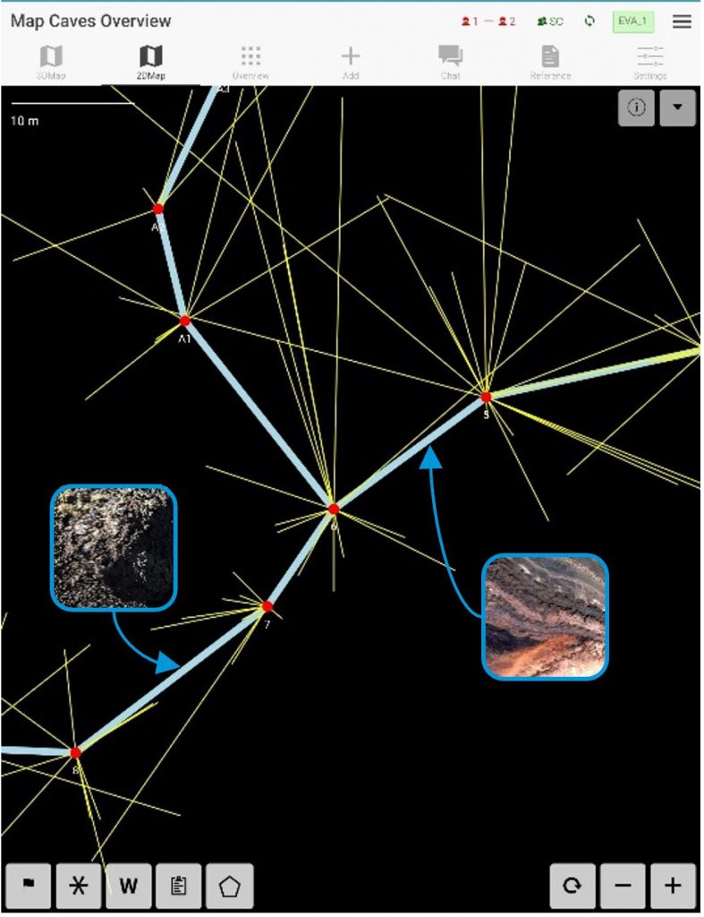
“We added an interactive viewer for the cave. Astronauts can do 2D and 3D cave surveys with lasers as they progress, and pinpoint the experiments,” explains Leonardo.
Just as Hansel left a trail of bread crumbs to be able to come back home, the crew can leave virtual markers on each laser-mapped location and retrieve them on the Electric Field Book to understand where they are, where the science locations are or how to return to base camp.
“The cavenauts can navigate through the map and access the science and data gathered in one precise location. This is a first for cave science,” adds Loredana.
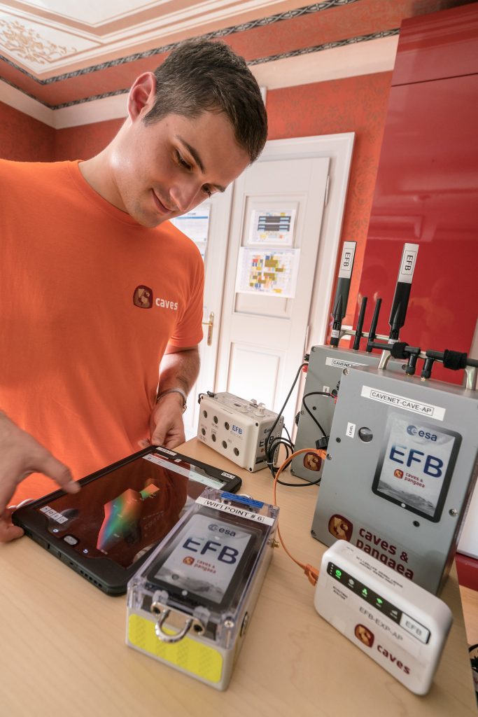
Another first is the introduction of a high-bandwidth wireless communication from base camp to the outside world. This approach uses several shoebox-sized wireless autonomous transmitters that forward data to the next node. Batteries can run for a week.
This experimental data forwarding technique could be one day be used on the Moon or Mars, where direct communication is not possible and time delays are part of mission control’s problems. “Even on Earth we try to deal with real, extreme constraints to mimic a space mission,” says Leonardo.
Mars mode
CAVES is a team exploration event in which science and mission operations are carefully prepared. “This is not a tourist adventure, but a serious training exercise. A unique one,” reminds Loredana.
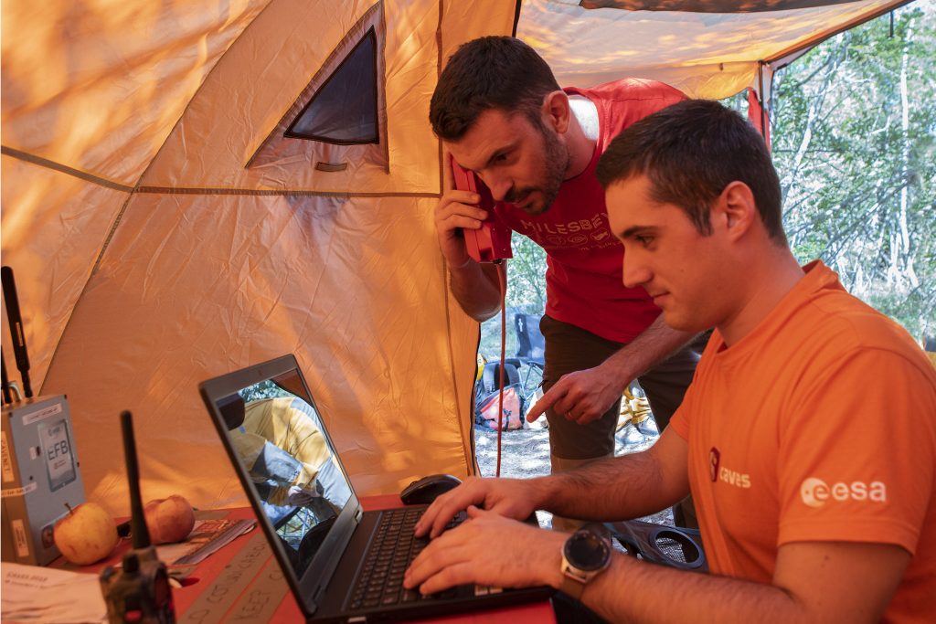
As if they were on a space exploration mission, the astronauts have limited communication with ground control. Crew and ground teams never speak directly on the phone – they exchange video logs recorded on a laptop twice a day, using base camp as stand-in for a planetary habitat or spacecraft. Advice or instructions from scientists and mission controllers will generally only come a day after the video log is recorded.
“This is not about testing communications. We really want the crew to experience the isolation and confinement that a cave offers, and benefit from it for autonomy in decision-making and for improving team dynamics in a space-like setting,” insists Loredana.
Bring the science in
The Electronic Field Book will be used to connect the mission control centre to the astronauts at base camp. “We can see the map the astronauts create as they explore the cave system, tracking their progress,” says Samuel Payler, the science operations coordinator and CaveCom for this mission.
To Samuel, the tool helps the scientists at the surface to collaborate with the astronauts in the cave and improve the scientific return of the mission.
“We can review the scientific data collected by the crew, see if it fits our expectations, suggest changes and direct the crew to collect samples,” he adds.
“The Electronic Field Book allows additional scientific expertise to be brought into the field with the astronauts. It is crucial for supporting scientific decision making and meeting science goals. We like to call it ‘augmented science’,” says the CaveCom.
Astronauts can easily add scientific data to their experiments and monitor the air composition directly from a multi-sensor array integrated wirelessly in the Electronic Field Book tablet. The sensors can provide up to 12 readings in real time.
What makes the Electronic Field Book powerful is its flexibility. “Our little jewel has a very scalable, and modular architecture. You can use it on a phone, smartwatch or even on a heads-up displays,” says Loredana.
Applications are vast. Now it is time to pass the cave test.
Electronic Field Book team
– Leonardo Turchi
– Sepand Dyanatkar Motaghed
– Amanda Robillard
– Louis Sérey Larose
– Jesús Asenjo Terrón


Discussion: 2 comments
Quel est l ‘intérêt pratique pour un spéléo ? Se localiser ? Lever une topo ? Communiquer ?
ce matériel existe déjà , ce “livre” est il mieux , plus concis ( il parait encombrant ) ? craint l ‘humidité ( parait bien emballé ) , les “spéléos-astronautes” sont eux aussi nickel/propres .. autonomie inconnue .. et prix indéfini !
Pas pour nous , spéléos , pour l ‘instant .
Merci de l ‘info
Are the software and eventually hardware publicly available? It could bring the caving community further, with more reliable tools.