For astronauts, understanding Earth geology is a change of perspective. It starts from the ground, learning to recognise rocks, interpreting geological features from outcrops and reading the history of geological events and stratification. A key part of geology for astronauts is recognising geological features and the sequence of events that formed them – from an orbital viewpoint.
Our planet has the largest geological variation in the Solar System in terms of rocks, endogenous processes, plate tectonics and volcanism as well as strong exogenous atmospheric processes that shape the environment. But Earth geology is also the best known thanks to many images taken from orbit and years of study.
Therefore, learning to look at other planets needs to start by looking at Earth.
Let’s take volcanism: it is the most evident fingerprint of geologic activity on Earth and elsewhere in our Solar System. From the ground we recognise a volcano by its truncated conical shape with a depression on the summit and through lava flows carving its flanks to form deep sinuous incisions.
Erosion and weathering processes can reshape its environment as well. Rain can channel together to form rilles that erode a volcano’s flanks leaving small incisions and valleys behind.
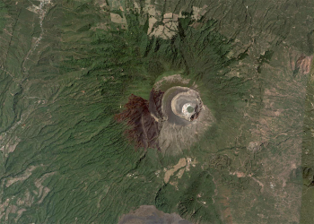
A volcano observed from space is less obvious: sub-circular or elliptic shapes define the borders of the cone and its central caldera, while radial patterns of dark streaks departing from its center define the valleys formed by flowing lava and water rilles.
Lighting conditions for orbital observers can also change dramatically: light does not always shine from above as on ground. It can come from any direction! Knowing the source and direction of light as it strikes an object is fundamental to recognise shadows from surface features and to distinguish between mountains and depressions.
Learning techniques to observe geological features is not too different from learning the words of a new language. The geological language provides the ability to read different stories from satellite images, independently from the planetary body observed.
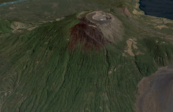
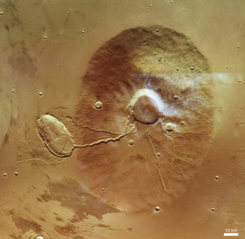
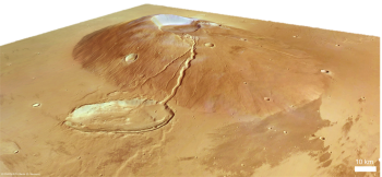
Ceraunius Tholus on Mars, observed by ESA’s Mars Express, has a slightly elliptic shape, within it a smaller elliptic feature defined by sharp shadows. Dark radial incisions of different width depart from there to the surroundings. Is it that different from the Santa Ana volcano above?
On Ceraunius, the largest rilles fromed from fluid lava flowing from the central caldera and filling an impact crater that hit the surrounding plains. However, the smaller carvings on its flanks suggest strong surface weathering and water erosion on ancient Mars!
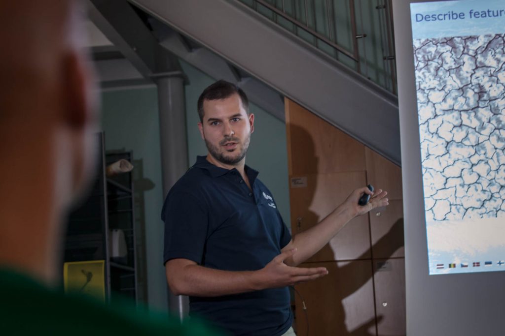
This is what we train astronauts for during the Pangaea course on orbital image-recognition: to use of their knowledge of Earth geology to recognise features and processes on our planet and on other bodies. Knowing what to expect on the ground in terms of geology, both for science and operations will be very important when choosing a landing site…
Riccardo Pozzobon, Planetary Geology PhD, PANGAEA Instructor and Responsible for course didactic material

Discussion: no comments