


With the ESA Advanced Ocean Training Course a couple of days in, Dr Fabrice Collard from OceanDataLab explains how they are using satellite data to find plankton to sample from the tall ship Statsraad Lehmkul.
The course involves an extraordinary six-week training voyage for next-generation ocean scientists aboard a majestic tall ship that set sail from Tromsø in Norway bound for Nice in southern France. But this is no ordinary journey.
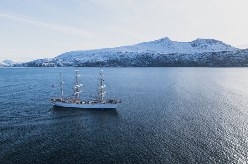
Shot from a drone of Statsraad Lehmkul just after leaving Tromsø. (ESA/Ocean Media Lab)
These upcoming researchers will be taking a deep dive into ocean science, empowering them with skills to harness satellite data for research, innovation and sustainable development – and preparing them to become tomorrow’s leaders and ambassadors for ocean science.
Dr Fab explains:
On the second day of the expedition, off the Norwegian coast, near-real time reception of Copernicus Sentinel-1 and Sentinel-3 observations using Ocean Virtual Lab, are helping locate the plankton blooms and the oceanic fronts. The students on the ocean training course are sampling the plankton with the instruments onboard and deployed from the tall ship.
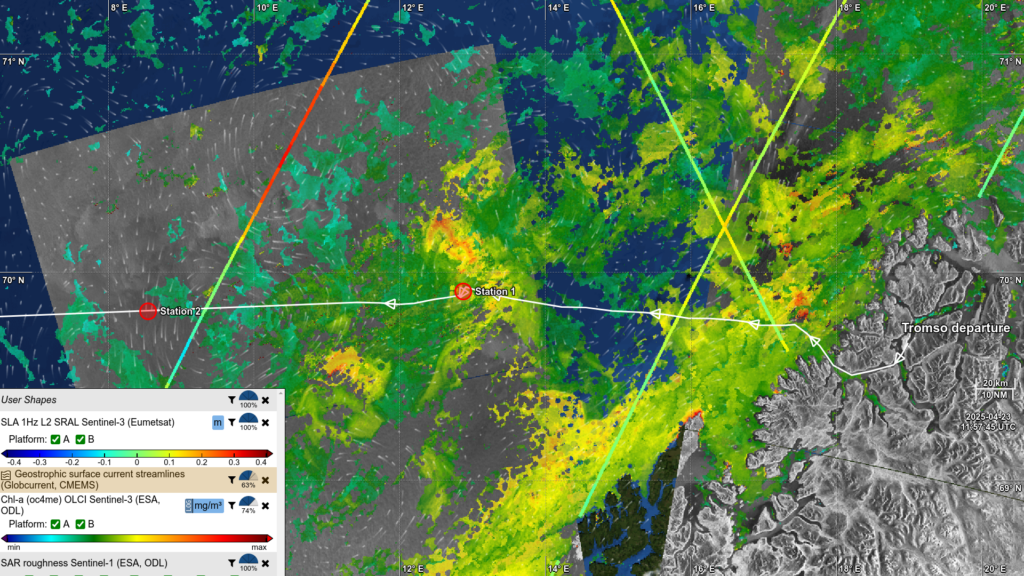
Using satellite images to locate plankton. (Ocean Virtual Lab)
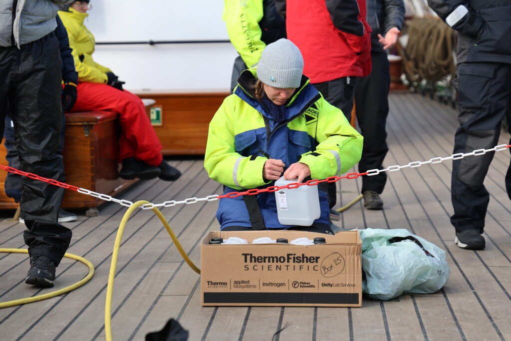
Preparing to take samples. (ESA/Ocean Media Lab)
Post from: Dr Fabrice Collard from OceanDataLab
Discussion: no comments