A team from the UK Centre for Polar Observation and Modelling (CPOM) recently spent six days surveying glaciers and proglacial lakes in Iceland.
Although there were a lot of early mornings, harsh weather and unexpected challenges, they had a fantastic time, gathered some excellent data and got to see the aurora a few times along the way!
CPOM’s Nicola Bortun helps us relive their adventures and important work in the land of fire and ice.
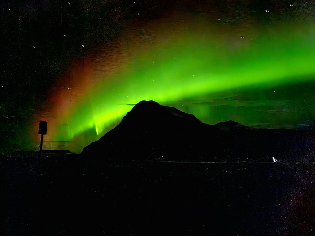
The aurora borealis over the mountains around Vatnajökull, Iceland. (Credit: CPOM/Andrew Shepherd)
We were very excited to attend the Cryo2ice symposium in September 2024, which took place in Reykjavik, Iceland, to present our research to the international community of scientists using CryoSat, ICESat-2 and other satellite altimetry data.
Cryo2ice has brought the orbits of ESA’s CryoSat and NASA’s ICESat-2 satellites closer together, allowing almost-simultaneous measurements of the same ice.
PhD students Natasha Lee, Amy Swiggs and Nitin Ravinder made the most of the trip to conduct experiments for their current polar research.
Supported by senior scientists and staff, including Andrew Shepherd, Inès Otosaka, Sammie Buzzard and Ben Palmer, the team embarked on a journey across several beautiful Icelandic glaciers and glacial lakes.
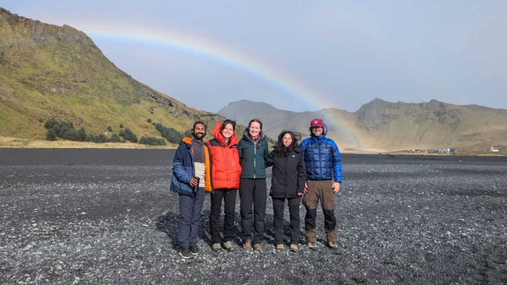
A rainbow over Iceland’s black sands, which stretch for many miles along its southern coastal region. (Credit: CPOM)
Iceland at the frontline of ice melt
We are at a point in the interglacial cycle where we are seeing more ice melt (glacial–interglacial cycles are caused by regular changes in Earth’s orbit, which take place over thousands of years).
Climate change due to fossil fuel consumption and global warming is rapidly accelerating this ice loss, with the effects of which are being felt most acutely in the Arctic where air temperatures are rising more quickly than anywhere else. Ice loss from Greenland and Antarctica has increased fivefold since the 1990s.
As Iceland is at low latitude, sitting just below the Arctic circle, ice melt is accelerated due to increasing air temperatures, more rain and less snow. It’s therefore a good location to study the effects of melting.
Several glaciers and an ice cap have already become extinct in Iceland, meaning they’ve entirely melted away or melted to the point that they can no longer be considered glaciers.
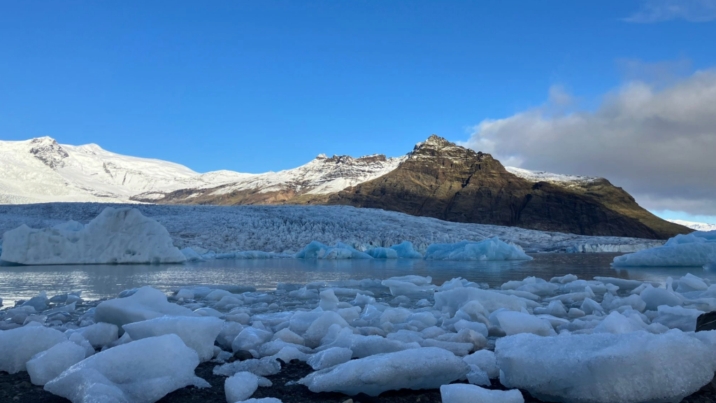
The terminus of one of Iceland’s rapidly-melting glaciers. (Credit: CPOM)
What’s a proglacial lake?
As glaciers melt, proglacial lakes form at the end of the glacier (known as the terminus), and it was these locations we focused on.
If these lakes are in contact with the glacier, they can cause the glacier to melt faster and increase the speed which it moves.
The lakes create a risk of floods, known as Glacial Lake Outburst Floods, or Jökulhlaups in Icelandic (meaning glacier run), which affects local populations living around glaciers. They frequently have devastating consequences on communities and infrastructure in Iceland.
Proglacial lakes also play an important role in sediment transport through biogeochemical cycles, the movement of essential elements around the ecosystems that sustain plant and animal life.
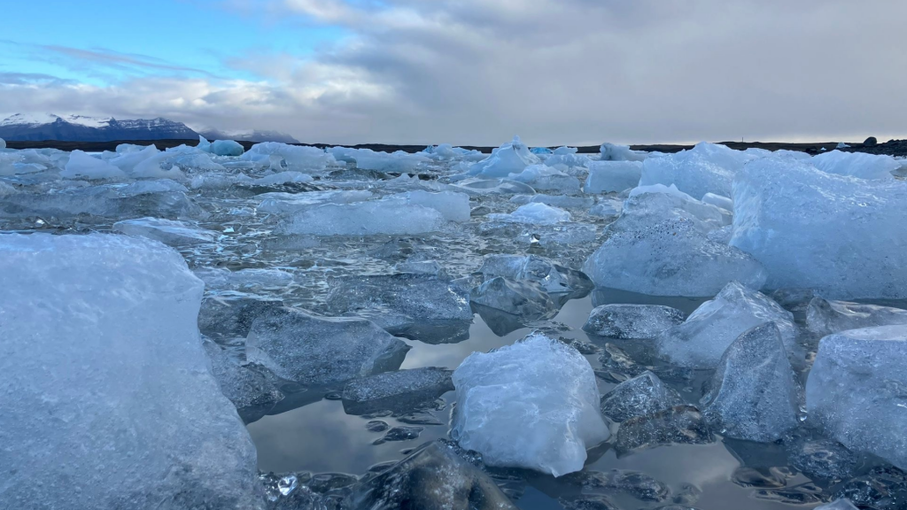
A proglacial lake, full of calved ice that now floats as icebergs and eventually melts. (Credit: CPOM)
Natasha Lee explores proglacial lakes
Natasha’s research focuses on the impact of climate change on Icelandic glaciers and proglacial lakes. She sampled five different lakes across Iceland, including Hvítárvatn, Sólheimajökull proglacial lake, Fjallsárlón, Jökulsárlón and Virkisjökull proglacial lake.
Natasha used a drone to take physical samples of water to examine suspended sediment content. Samples were collected from different points across the lake and included both lakes that still had contact with the glacier and lakes that were no longer in contact due to recent retreat driven by climate change.
She also took optical images of the lake from above to quantify whether there is a relationship between the colour of the images captured by the drone and the sediment content from the relevant sample. It will also be possible to compare the colour of the lake taken from the high-resolution drone camera with optical satellite imagery, such as Sentinel-2 or PlanetScope, from which calculating the colour of proglacial lakes is already possible.
“Using a drone creates a quicker, more efficient method of collecting water samples without disturbing the sediment and local wildlife, as collecting manually from a boat would,” says Natasha.
“The data collected on this campaign provides understanding of the relationship between proglacial lake colour and suspended sediment concentration. Following the success of this campaign, collection of water samples by drone in remote and challenging polar regions has promising future capabilities.”
Nitin Ravinder explores ice dynamical imbalance
Nitin Ravinder’s research involves isolating the ice dynamical imbalance in both Greenland and Antarctic ice sheets using observations from satellite altimetry missions such as CryoSat, ICESat-2 and others with the aim of better quantifying changes in glacial dynamics and better constraining future projections of sea-level rise.
Nitin’s focus for the fieldwork was capturing surface elevation measurements at a glacier terminus using drone-mounted lidar and optical sensors. The aim was to see how we can reliably measure surface elevation over land ice using a drone and whether we can use these measurements with satellite measurements in the future.
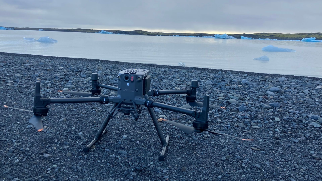
This drone was used to study many aspects of glaciers, ice and proglacial lakes. (Credit: CPOM)
A lidar sends laser pulses towards an object or a surface and measures the time taken for the reflected light to return to the receiver to determine the distance. This is then converted to elevation by subtracting the distance from the flight height of the drone. Optical sensors capture images along the flight path, and we can apply photogrammetry methods to determine surface elevation.
Both sensors have strengths and weaknesses in terms of equipment, geolocation and accuracy. Having done surveys using both, we can compare them and identify the more suitable sensor to measure surface elevation at the terminus.
“If we can reliably measure surface elevation at the terminus of glaciers, then we have another way to retrieve surface elevation changes through repeated surveys at these locations, with an enhanced level of detail, and add further value to the observations that satellites provide,” says Nitin.
Amy Swiggs explores trends in Arctic sea ice
Amy Swiggs uses satellites to study trends in Arctic sea ice, and investigates how these changes will impact climate, ecosystems, and the economy. In particular, she uses satellite altimetry to measure the elevation of sea ice, which can be used to estimate many sea ice parameters, including sea ice freeboard and thickness.
Amy’s focus during this fieldwork was using drone-based lidar to survey icebergs in proglacial lakes, as we can determine their freeboard and thickness using similar methodology to those applied to sea ice.
We wanted to see if a drone-based lidar could be used in future sea ice and iceberg observations to complement and validate existing satellite altimetry datasets.
An ideal location for Amy’s experiment was Jökulsárlón, a well-known spot for tourists to see seals along Iceland’s “diamond beach”.
To estimate the thickness of the icebergs, we use an equation that assumes the iceberg is floating. However, as many of these icebergs were grounded in the proglacial lake, we couldn’t apply this here.
Fortunately, we could use historic maps of the bathymetry (depth measures of oceans, seas or lakes) of the lake to convert the iceberg freeboard to.
“Despite some of the challenges of using a drone, such as inclement weather, human interference, and geolocation, we are optimistic about its usage in the field,” says Amy.
“We aim to use this to assess sea ice at a fine scale and combine this with satellite observations to improve our understanding of sea ice dynamics and change. We also see the potential for using drones to track and monitor icebergs.”
When the team were reviewing bathymetric surveys of the lakes from the 1970s as part of Amy’s research, they could see where the terminus of the glaciers had been. They observed from their own measurements that the glaciers had retreated a long way by September 2024, which suggests that increased melting is taking place at these glaciers.
CPOM Director Andrew Shepherd also captured footage of melting at Vatnajökull ice cap, where ice regularly calves from the ends of its various glaciers.
About CPOM
CPOM studies the Earth’s polar regions. Using satellite observations, including observations from ESA’s ice mission, CryoSat, and NASA’s ICESat-2, CPOM monitors the cryosphere and develops numerical models to understand how the world’s ice and oceans have changed and better predict how they might continue to change in the future.
One of CPOM’s key strategic aims is to develop, test and increase the use of low-carbon methods for sustainable polar science. The team focussed on developing and testing sustainable methods of data collection, using an ‘autonomous vehicle’ (drone) to conduct their experiments in Iceland.
Affiliations
Nitin Ravinder is a PhD student at the University of Leeds. Amy Swiggs is a PhD student at Northumbria University. Natasha Lee is a PhD student at Northumbria University and the University of Newcastle.
All other scientists and staff mentioned work at Northumbria University.


Discussion: no comments