ESA’s EarthCARE mission has taken another step towards full commissioning after the launch of a huge campaign to calibrate and validate the satellite’s instruments began in August 2024.
EarthCARE, ESA’s cloud and aerosol mission, is tasked with probing the mysteries of clouds and aerosols, and the role they play in regulating Earth’s rapidly changing climate.
Since the launch of EarthCARE on 28 May 2024, one by one the satellite’s four instruments have been firing up ready for action.
The latest to reach nominal status was ATLID, EarthCARE’s atmospheric lidar, which will measure the tops of clouds and give us vertical profiles of thin clouds and aerosols like dust, wildfire smoke, and pollution.
It’s perfect timing. One reason it was so important to launch EarthCARE in the summer of 2024 was to coincide with a massive international campaign known as ORCESTRA.
The aim of ORCESTRA, which involves many international research institutes, is to study tropical weather systems, including the role of clouds and aerosols in the formation of thunderstorms.
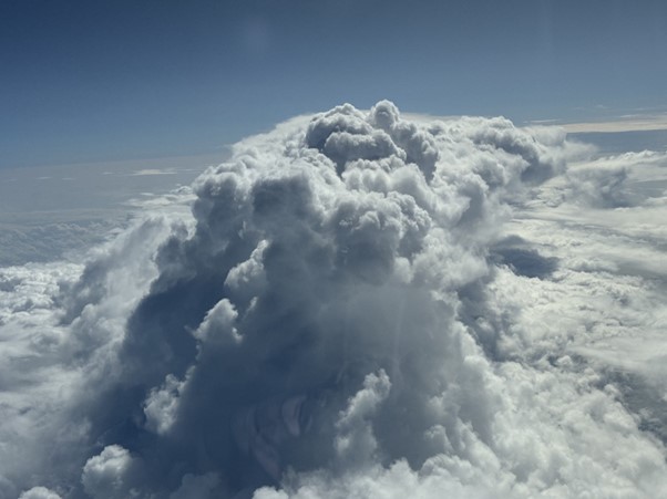
This evolving deep cloud is one of the atmospheric features that EarthCARE and ORCESTRA will probe in great detail. (Max Planck Institute for Meteorology–B. Stevens)
A big part of the campaign involves research aircraft and research vessels flying and sailing underneath EarthCARE, all the way from Cape Verde to Barbados, to calibrate and validate its various instruments.
That’s no mean feat. EarthCARE’s four instruments include ATLID, along with JAXA’s Cloud Profiling Radar, a broadband radiometer and a multispectral imager, all working together to give us a better understanding of the role clouds and aerosols play in regulating the climate.
That means multiple aircraft and ships carrying a vast of array of instruments must coordinate to track the orbits of EarthCARE, all while riding the turbulence and choppy seas that come with tropical storms.
ORCESTRA’s big first week
EarthCARE Campaign Scientist Jonas Von Bismarck headed to Cape Verde to join the first week of the ORCESTRA campaign.
Here’s a day-by-day account of what happened, including – very excitingly – the first ever underflights of EarthCARE.
Friday 09 August
The first taste of the ORCESTRA campaign was a visit to the FS Meteor, Germany’s third-largest research vessel.
The FS Meteor will sail from Cape Verde to Barbados as part of the BOW-TIE element of ORCESTRA, which is led by the Max Planck Institute for Meteorology. It carries a large suite of instruments from multiple radars and lidars to radiosondes and drones.
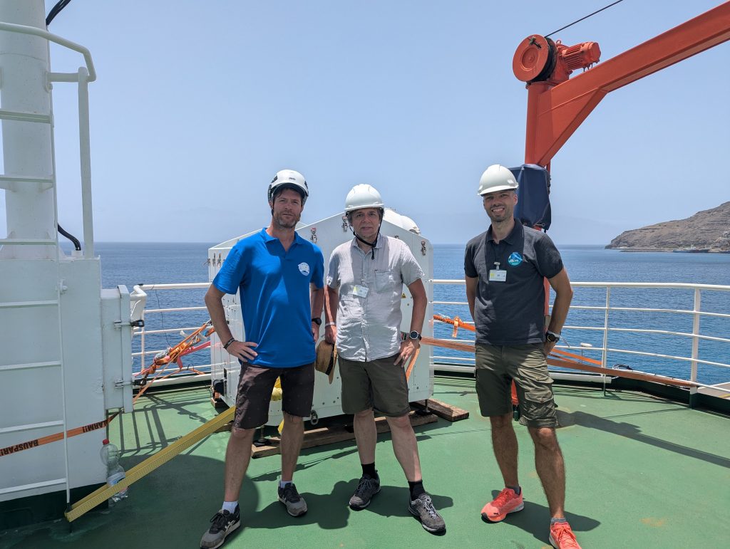
Left to right: Daniel Klocke (Max Planck Institute for Meteorology), Bjorn Stevens (Max Planck Institute for Meteorology), Jonas Von Bismarck (ESA) aboard the FS Meteor. (ESA – J. Von Bismarck)
Saturday 10 August
From the sea to the sky, today was a chance to catch up with colleagues running both the ground and airborne campaigns.
As we gathered on the roof of the Ocean Science Centre Mindelo, where TROPOS’ Polly XY lidar is poised to measure the sky above, it was a tricky task trying to spot the French SAFIRE ATR aircraft amongst the particularly thick Saharan dust overhead.
The SAFIRE, flown as part of the MAESTRO element of ORCESTRA, can fly in the lower troposphere, at about 8km, near the bottom of clouds. Its instruments can measure horizontally and vertically, so it’ll be capturing a lot of information on cloud properties.
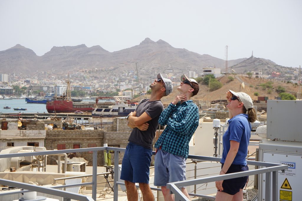
Left to right: Jonas Von Bismarck (ESA), Felix Fritzsch (TROPOS) and Henriette Gebauer (TROPOS), stood next to the TROPOS Polly XT lidar. (ESA– J. Von Bismarck)
Sunday 11 August
Today was a big day. The first EarthCARE underflight by the DLR HALO aircraft in the intertropical convergence zone (ITCZ) – the special atmospheric region of interest for the ORCESTRA campaign.
The HALO is flying as part of the PERCUSION element of ORCESTRA, and today it flew through high clouds at 14km during the EarthCARE underpass.
The onboard WALES lidar managed to get a good look at the stable aerosol layer below 5km, handy for ATLID comparison, and it was a good flight for the HAMP radar to compare its measurements of diverse cloud features with EarthCARE’s cloud radar.
We were also able to get a SAFIRE ATR underflight close to the island of Sal.
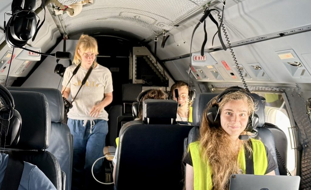
The crew aboard the HALO aircraft. (Max Planck Institute for Meteorology–B. Stevens)
Monday 12 August
Today was a no-flight day. But we did continue our daily meetings, which include weather forecasts, post/pre-flight reporting, and general coordination.
Importantly, it included the preparation of the first coordinated EarthCARE underflight, involving multiple aircraft, planned for the next day.
It was also a good opportunity to admire the HALO as it sat poised to tackle the dusty, hazy sky above Cape Verde.
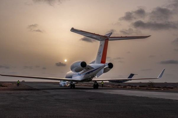
The DLR HALO aircraft on the runway. (DLR–A. Minikin)
Tuesday 13 August
Today was a big day for EarthCARE as both HALO and the SAFIRE ATR flew underneath the satellite, all at the same time. And we have the flight tracker to prove it!
That means we had EarthCARE’s satellite measurements combined with the HALO at the top of the clouds, as well as the SAFIRE at the bottom of the clouds. Well, we would have, except there weren’t many clouds in the sky today.
It was an exciting moment for the team, who also managed to get a SAFIRE ATR flight under Sentinel-1 for good measure.
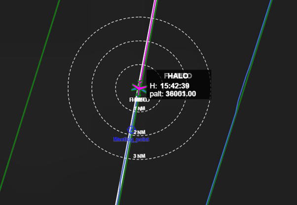
HALO and SAFIRE ATR align underneath EarthCARE. (École Normale Supérieure–B. Poujol)
Wednesday 14 August
Wednesday was a well-earned day off for the ORCESTRA team.
In the morning, we played beach volleyball (the earlybirds at least!) and in the evening there was a social team event.
Whilst they were down at the beach, some of our colleagues from the Max Planck Institute for Meteorology benefited from looking down as well as up, admiring the local wildlife (in the form of baby sharks).
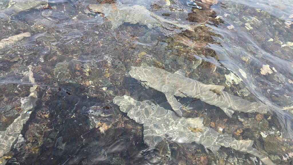
Baby sharks at the beach. (Max Planck Institute for Meteorology–U. Kirchner)
Thursday 15 August
Today was notable for two things.
There was the very first King Air EarthCARE underflight, which kicked off the CELLO element of ORCESTRA. The INCAS King Air is a Romanian research plane, which is equipped with cloud probes that let us measure cloud droplets and ice crystals of various sizes.
We also got friendly with more wildlife! In the evening, we supported a nightly turtle patrol, to protect and monitor endangered sea turtles while they were coming ashore for nesting. It’s a biodiversity initiative with international volunteers cooperating with ORCESTRA and was a wonderful experience.
We managed to hold off the stray dogs!
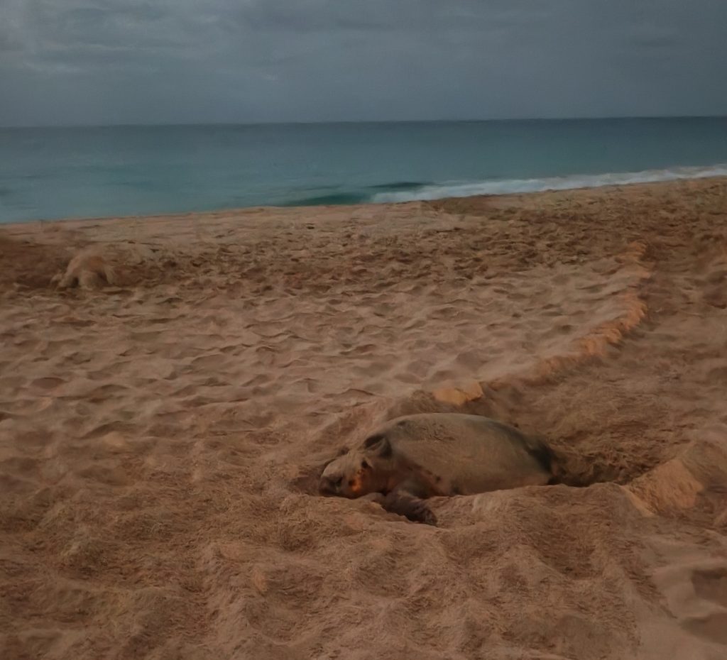
A turtle buried in the sand. (University of Oklahoma–J. Ruppert)
Friday 16 August
The EarthCARE team is also collaborating with NASA’s ARCSIX campaign, who managed to fly underneath EarthCARE as their GIII aircraft flew down from Greenland to New Hampshire on Friday evening.
It was wonderful timing. The plane flew right through a plume of thick Canadian forest fire smoke, which meant taking pictures with a camera was tough. But the data were something else!
The range of aerosol optical depth encountered should be a great test for the ATLID instrument.
The image below is a curtain of the aerosol backscatter measured at 532 nm by the High-Altitude Lidar Observatory (HALO) high spectral resolution lidar and water vapor differential absorption lidar. The curtain only shows the section of the flight under the ATLID track. The visible image is a VIIRS_SNPP corrected reflectance true color image around the time of the overpass and shows the variability of the smoke with latitude.
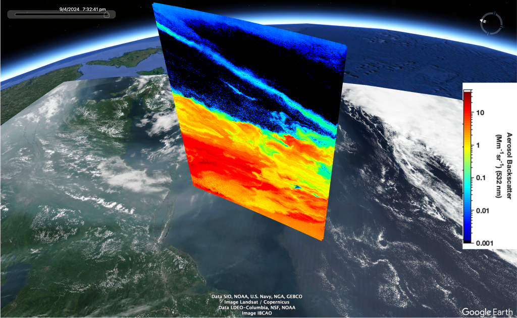
Aerosol backscatter over the North American Atlantic coast. (NASA Langley Research Center/HALO)
Saturday 17 August
Ok so this is slightly longer than a week, but we had to include this.
Looking through the radar data from the HALO underflight, Bjorn Stevens of the Max Planck Institute thinks EarthCARE spotted the aircraft’s echo as it flew underneath the satellite.
Precision!
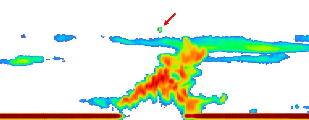
EarthCARE cloud profiling radar spots the DLR HALO aircraft as it flies below. (JAXA/NICT/ESA)
It’s been a great first week of EarthCARE underflights, with the data already proving invaluable for calibrating and validating the satellite’s instruments.
More soon when we’ve crunched some of the data, and as the ORCESTRA campaign sails on!
Post from the ORCESTRA team


Discussion: no comments