As well as being famous for its game reserve, the Kruger National Park in South Africa has the longest runs a large-scale fire experiment, the largest of its kind in the world. Four times a year plots of land, each about seven hectares, are burned to understand how fires behave under different conditions and how they affect the ecology. Fire is an integral part of the African savannah so understanding how its effects is important for management plans.
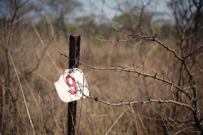
Plot 9 of the Kambeni Experimental Burn Plot String in Kruger National Park. (Kings College London)
Since external scientists are invited to use this unique opportunity for research, a team from the UK, South Africa and ESA took advantage of the fires recently to help validate fire data products from the Copernicus Sentinel-2 and Sentinel-3 missions.
For example, Copernicus Sentinel-3’s instrument package includes the Sea and Land Surface Temperature Radiometer which has two dedicated infrared channels optimised for active fire detection and fire radiative power measurement.
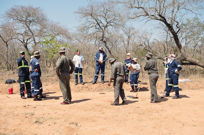
Pre-fire briefing. (Kings College London)
During the fires the team deployed UAV’s to map the plot characteristics pre- and post-fire, and to capture samples of smoke during the burn to convert fuel consumption estimates into smoke emissions.
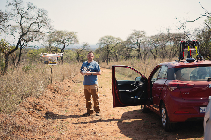
Small mapping drone (left) and large smoke sampling drone (right) being prepared before the burn. (Kings College London)
Simultaneous smoke measurements were made around the firebreak as well to characterise the smouldering emissions after the flame front had passed. Each fire typically burned for around 30 minutes.
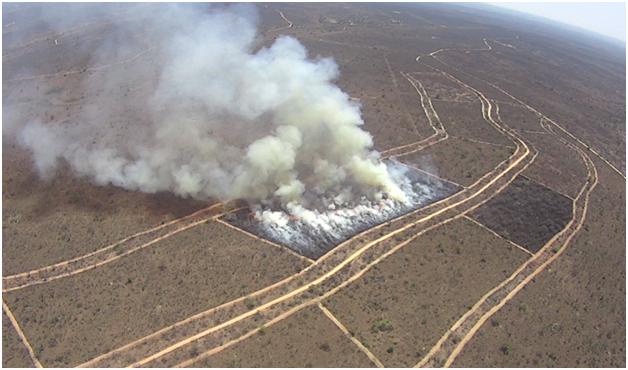
Aerial view of a Kruger 7ha experimental burn. (Kings College London)
A helicopter was used as an aerial platform from which thermal infrared data was taken of the fires, timed to be co-incident with Copernicus Sentinel satellite overpasses. Three thermal imagers were deployed concurrently, each operating in a different wavelength range to provide comprehensive information about the thermal radiation being emitted by the fire.
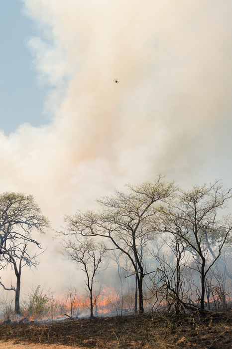
Sampling smoke from a UAV. (Kings College London)
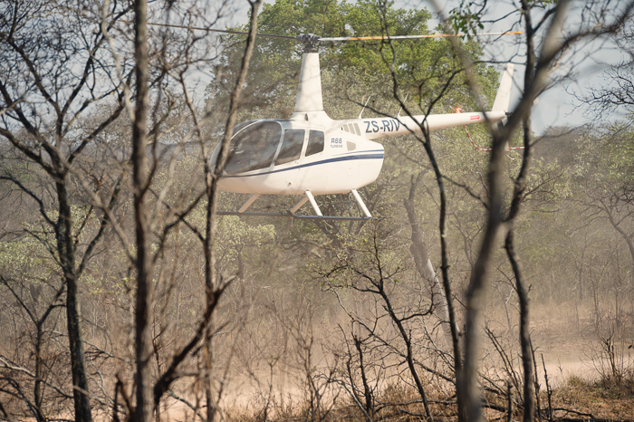
Helicopter landing on the fire break between experimental burn plots. (Kings College London)
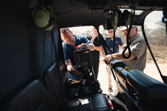
Fitting a midwave infrared camera in the helicopter. The camera had a spectral filter matching the 3.7 m channel of Copernicus Sentinel-3’s radiometer. (Kings College London)
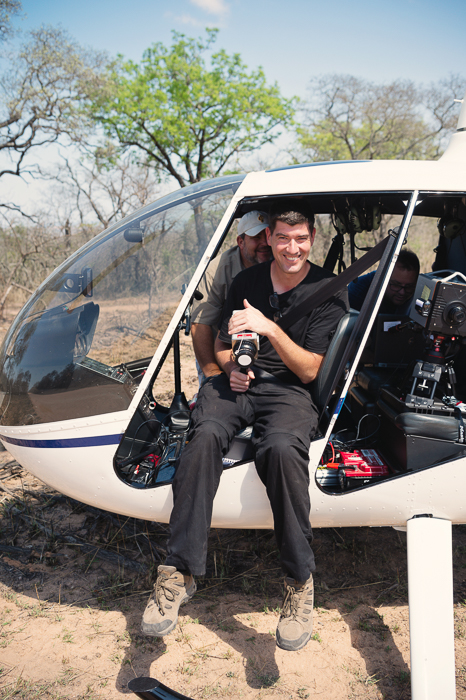
A lower-tech ‘human’ camera also in the front seat. (Kings College London)
The helicopter allowed thermal video footage to be capture throughout the duration of a burn. One burn was conducted as Copernicus Sentinel-2 orbited above and imaged from the helicopter at the same time, possibly the first time this has been done.
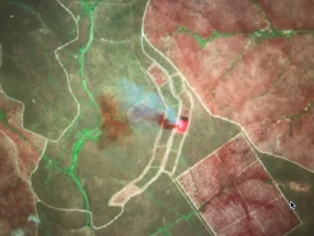
Copernicus Sentinel-2 multispectral instrument shortwave infrared colour composite. (contains modified Copernicus data.)
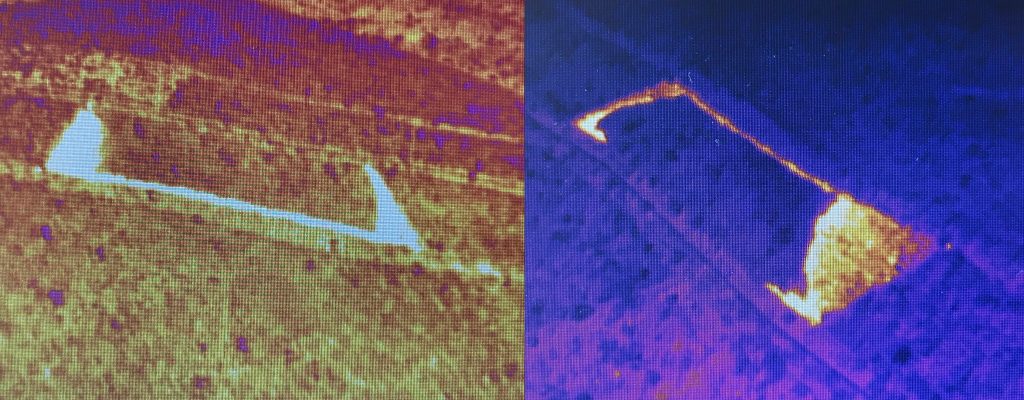
Thermal imagery from helicopter. (Kings College London)
These data will enable the information derived from the shortwave infrared signals recorded by the Copernicus Sentinel-2 instrument to be compared to the very high spatial detail information from the helicopter’s longwave and middle infrared imagery.
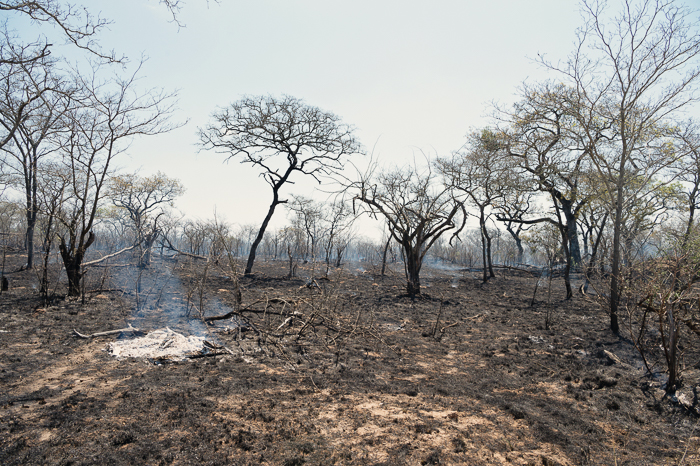
Post-burn scene, with char and ash covering the ground. (Kings College London)
Corner ‘bonfires’ were used at the edges of each plot to provide ground-control points, allowing the thermal imagery to be registered to a map coordinate system. This will ultimately enable the very high spatial resolution fire radiative power information collected during the burns to be compared to that in the satellite products.
Kruger Park is a unique place, and home to amazing wildlife as well as scientific investigations. Thank you for letting us be your guests. 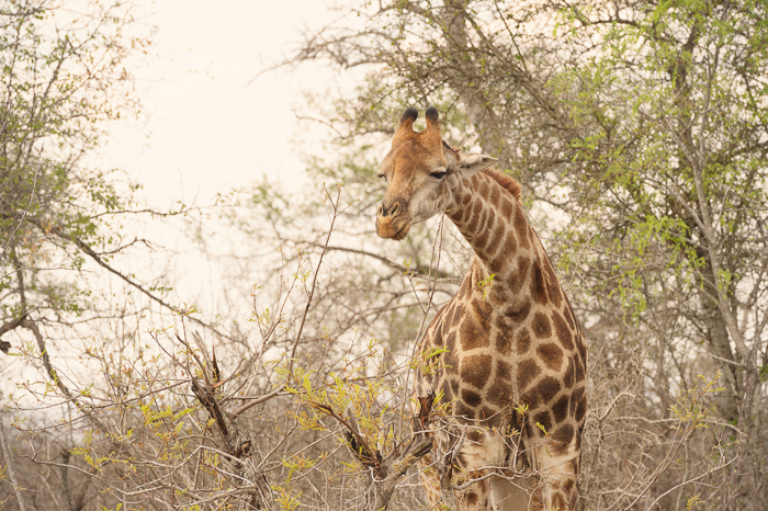
Post from Martin Wooster and Lyanne Wylde from Kings College London, UK


Discussion: no comments