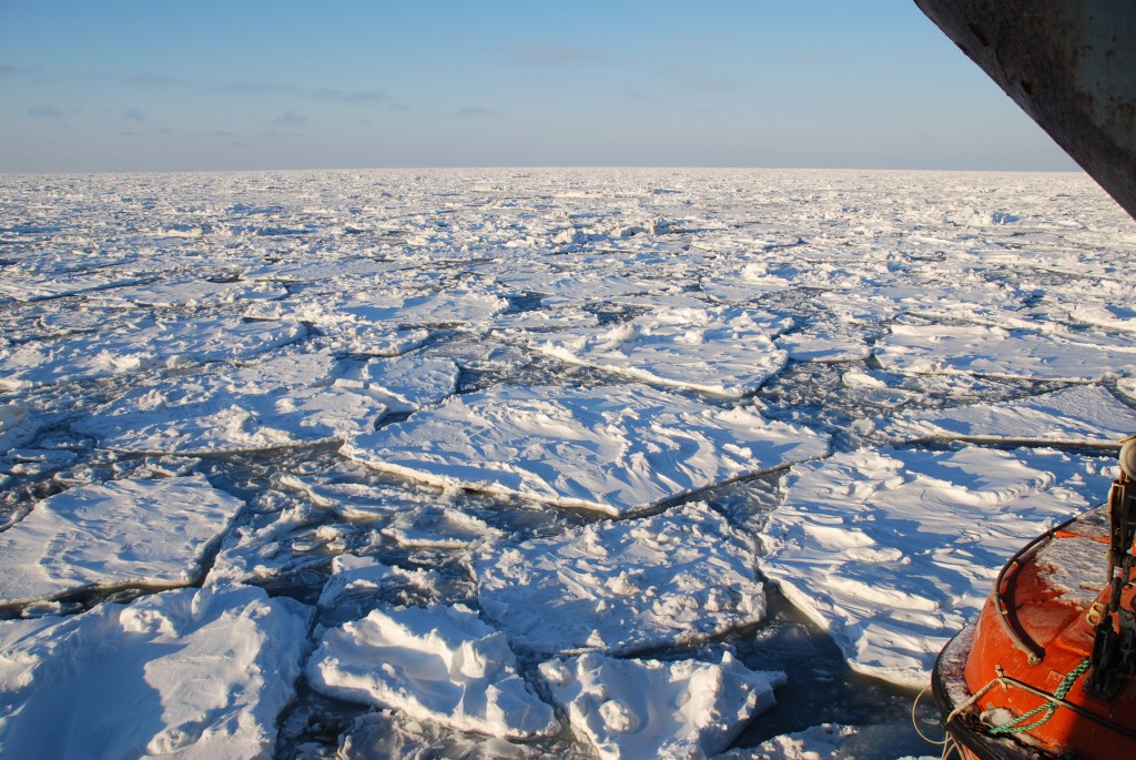
After almost two weeks in the Barents Sea the RV Lance is on the way back to Longyearbyen. First, we made our way north in the Stor Fjord looking for a sheltered spot in the ice to take a last set of measurements in the ocean, dismount the instruments, and store everything safely. Then, we started the last leg of our cruise along the west coast of Spitsbergen.
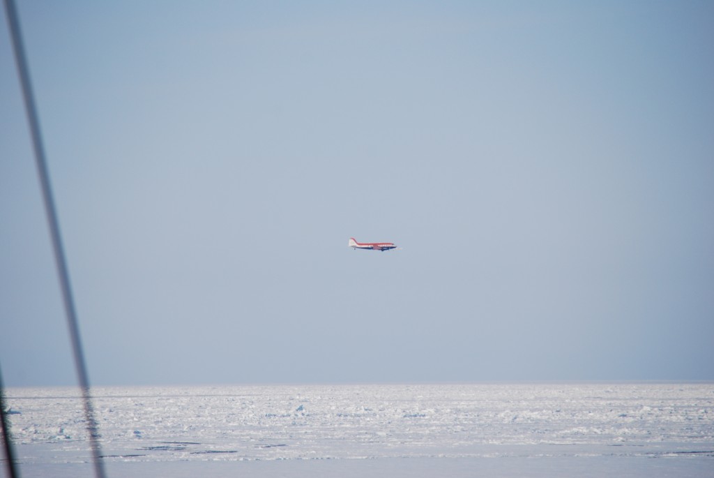
Overall, everyone on board is extremely happy with the measurements we were able to collect in remarkably good weather conditions. In total, the ship, helicopter and plane covered around 6000 km, constantly observing the atmosphere, the ocean and the ice. This forms an excellent database for CryoSat and SMOS product validation. In addition, the HSVA and BSH teams were able to apply their ice route optimisation system; another step towards an operational navigation system for ships in polar regions.
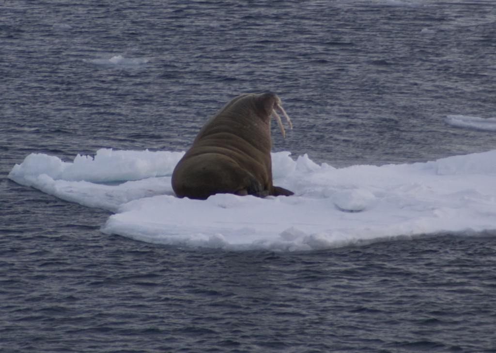
An exciting campaign is coming to its end. We have been travelling with our research vessel through an almost untouched frozen desert. We’ve seen seals, walrus, a bowhead whale, an a polar bear in the far distance.
Over the course of the last two weeks, I have learned a lot from the specialists on board about the different types of ice and shipping in the polar regions. And, it was great to experience how useful satellite-based measurements and navigation are in remote areas where no other supporting observations are available. It will probably take months to years to analyse the full dataset and improve our retrievals before we can see the impact in operational applications.
Post from Matthias Drusch (ESA), Longyearbyen Svalbard, 31 March 2014.


Discussion: no comments