


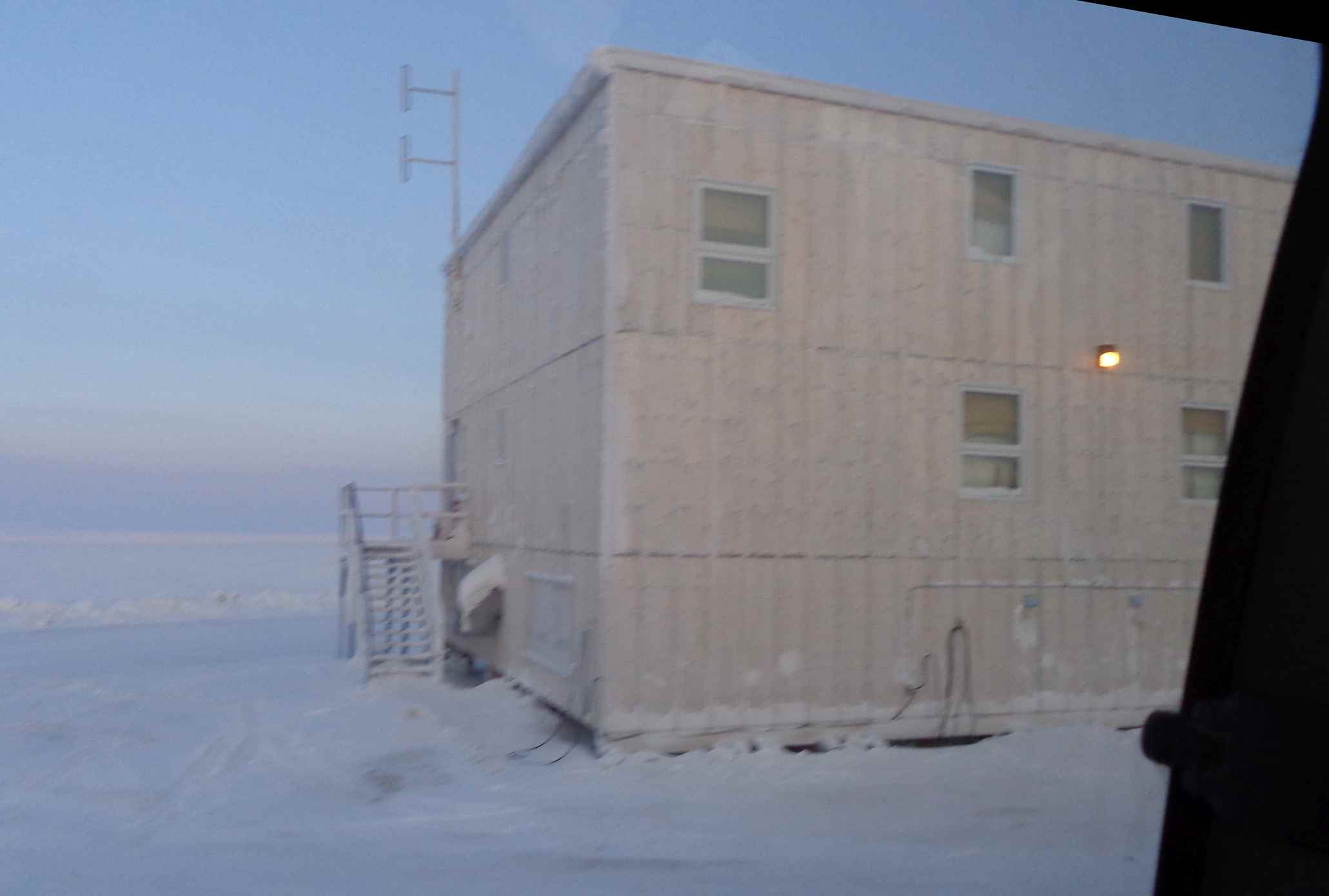
Ouch – a 05:00 start to the day. Packing calories with our Arctic explorers breakfast (eggs over easy, sizzling bacon, sausages and hash browns) was the last critical item on the agenda before an early departure from what has affectionately become known as the ‘plywood palace’ – South Camp Inn, at Resolute Bay airport (YRB).
Departure from the plywood Palace. (courtesy Mark Drinkwater–ESA)
The Norlandair Twin Otter (TF-POF), characterised by its dark-red livery and spotty tail, is chartered in Akureyri Iceland by the National Space Institute, Technical University of Denmark (DTU-Space) and operated by an Icelandic flight crew of three: pilot, co-pilot and engineer. The scientific team is led by CryoVEx project manager Rene Forsberg and campaign coordinator Sine Munk Hvidegaard who operates the ASIRAS altimeter and scanning lidar instruments.
Meanwhile a third DTU Space scientist Emil Nielsen, onboard TC-POF for the flights out of Inuvik, had departed for Station Nord on the Basler, together with the ice camp team, to make way for my participation in the sixth seat.
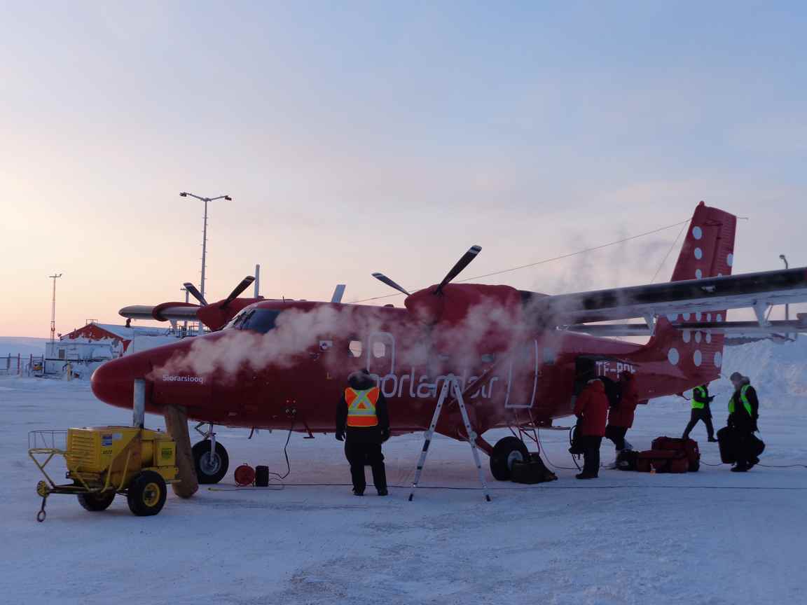
Norlandair Twin Otter ‘Siorarsiooq’ at Resolute, with heater & smoke. (courtesy Mark Drinkwater–ESA)
The Twin Otter was loaded where it had been standing on the apron at the airport in the ‒35°C overnight temperatures. Though the aircraft heaters had been plugged into airport power, a procedure of warming the engines and avionics began by using a portable heater. We packed our gear into the tail of the aircraft and then squeezed ourselves like sardines into the small remaining cabin area next to the large reserve fuel tank, and the racks of power supplies and computers that control the instruments.
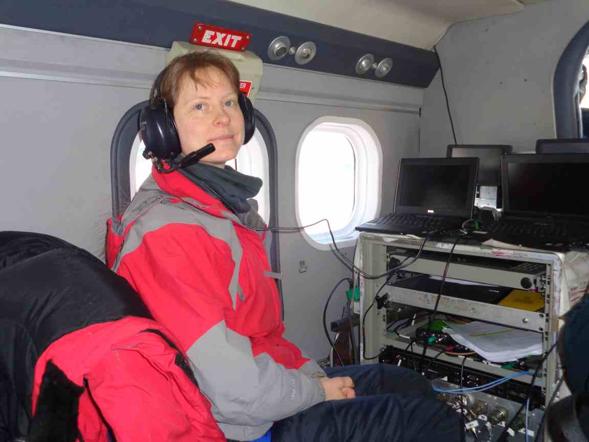
Sine Munk Hvidegaard at the radar console inside the aircraft. (courtesy Mark Drinkwater–ESA)
We departed Resolute Bay to a beautiful Arctic sunrise at 08:15 on 25 April. The Sun’s slow ascent over the eastern horizon gave an iridescent tangerine glow, accentuating the curves of Signal Hill next to the airstrip. As we lifted off, I caught a glimpse of the enormous stretched shadow of the aircraft across the width of the snow-covered strip as it quickly receded from view.
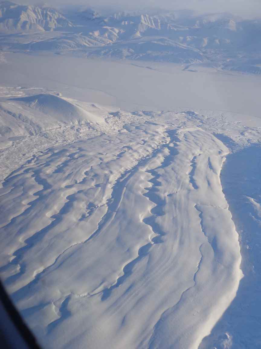
After a short climb to 355 m altitude in a northerly direction, we levelled off and soon crossed the northern coast of Cornwallis Island. The topography is the most interesting feature of this area. Although there are no mountains on the island, erosion from the last ice age has left behind a rolling white lunar landscape, punctuated by winding streams.
Shortly after crossing Wellington Channel on the northern side of Cornwallis Island, we clipped the northernmost tip of Devon Island before heading over Norwegian Bay in the direction of Axel Heiberg Island. Axel Heiberg rises out of the monotony of this expanse of level sea ice, with its exaggerated ice capped peaks and glaciers spilling down into the bay below. We circle and climb to 2500 m to cross the ice cap and avoid the anvil plumes and lenticular clouds punctuating the highest peaks.
Glacier on Axel Heiberg island. (courtesy Mark Drinkwater–ESA)
The planned flight to CFS Alert had to be split in two segments with a scheduled refuelling stop in Eureka, Ellesmere Island. Our approach was along Eureka Sound, which separates the two most northerly islands in the Canadian archipelago – Axel Heiberg and Ellesmere.
The bonus of flying via Alert was the opportunity to take SAR altimeter and lidar measurements over ice caps on Ellesmere island together with a sea-ice field camp occupied by a Canadian science team.
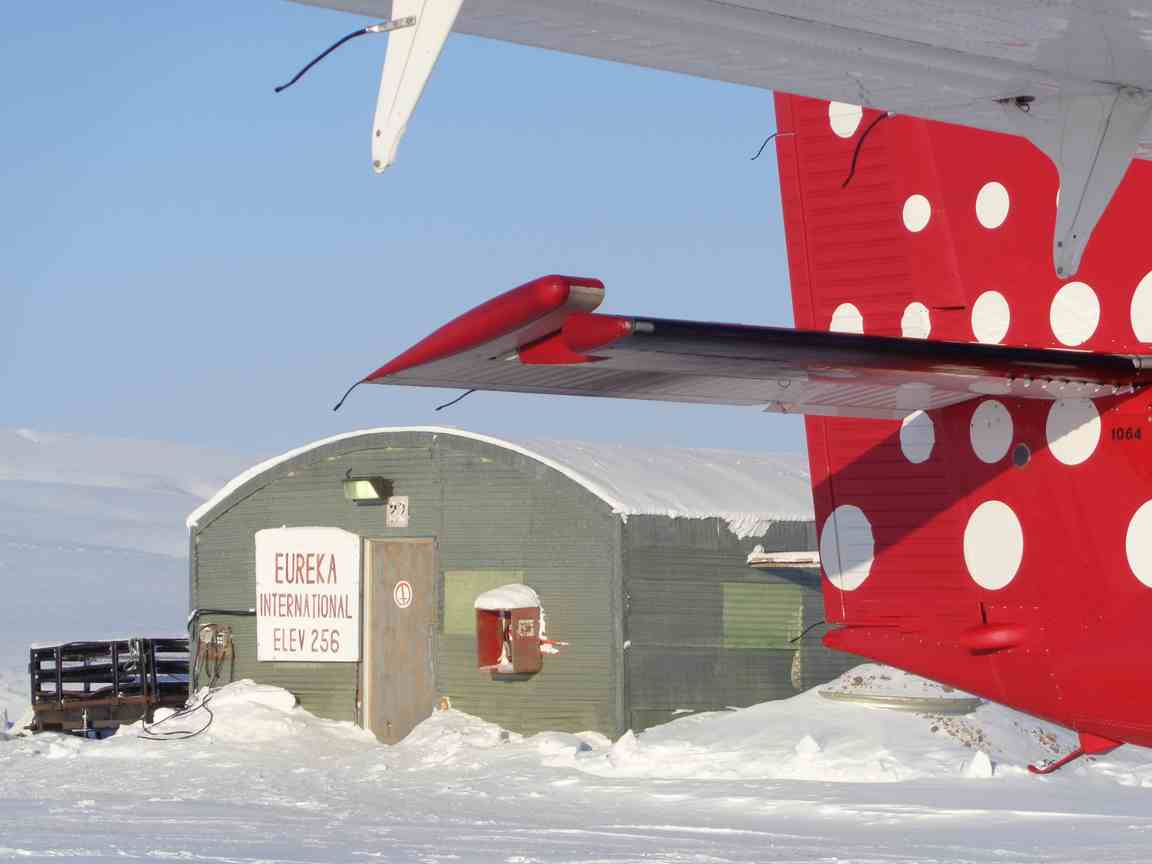
Eureka International. (courtesy Mark Drinkwater–ESA)
Over the course of the last days the team have been making 5000 snow depth measurements over a grid on the sea ice, in preparation for the ESA and NASA planned overflights with the Twin Otter and P-3, respectively.
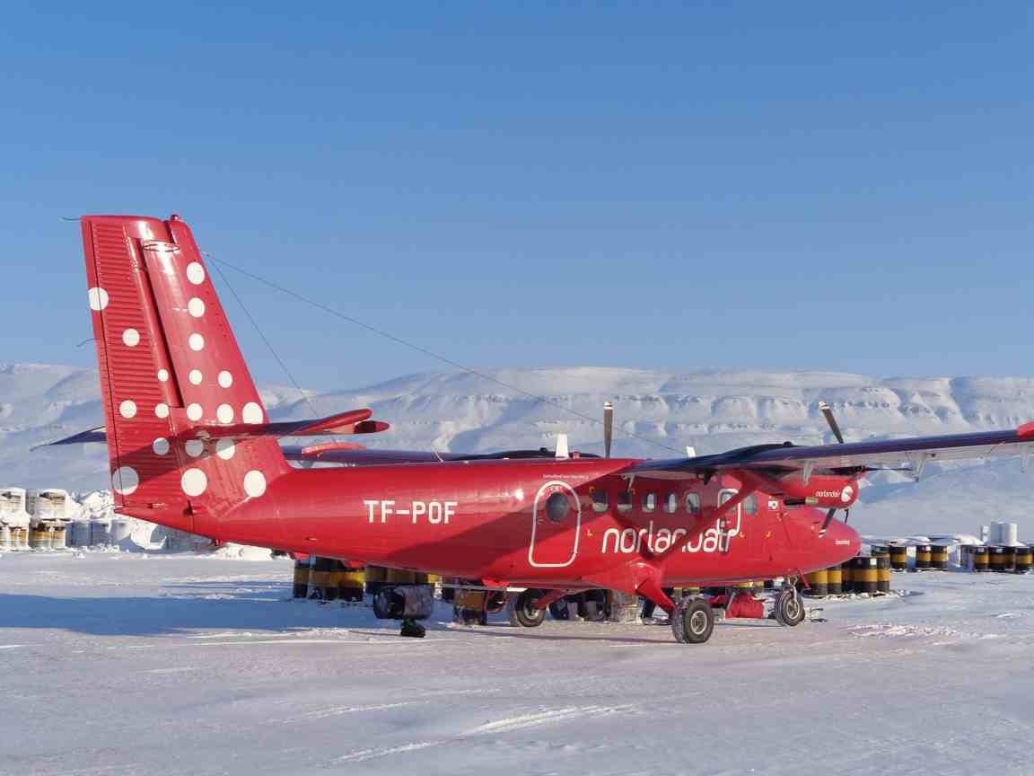
Refuelling at Eureka. (courtesy Mark Drinkwater–ESA)
Whilst flying along the Eureka Sound survey line, the coordinated NASA P-3 flight appeared right on cue. After some careful pilot discussion, they passed directly over our heads with an impressive closing speed and a vertical separation of some 1000 ft.
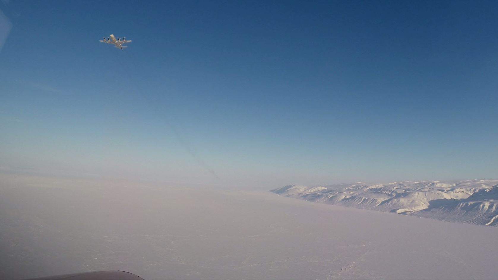
POF-P3 conjuncture over Eureka Sound. (Courtesy co-pilot)
After the two aircraft performed their aerial ballet above the waving scientists the P-3 went its separate way and we landed to refuel at Eureka.
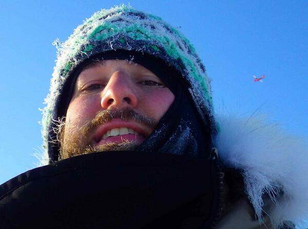
Josh King ‘selfie’ at Eureka Sound with TF-POF overhead. Josh is part of the ground team. (Courtesy Josh King)
After hand-pumping fuel out of the fuel drums for around an hour we had enough fuel margin on board to return to Eureka if needs be. So we decided to chance the weather and to set off on the two- hour flight leg to Station Alert on the north-easternmost tip of Ellesmere Island.
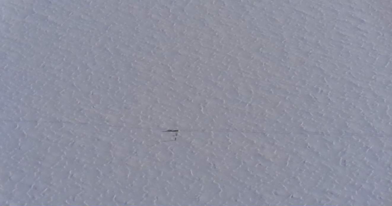
Field team on the Eureka Snow survey line. (courtesy Mark Drinkwater–ESA)
Post from Mark Drinkwater (ESA) northeast Canada, 25 March 2014
Discussion: no comments