Since 16 March 2014, flying from Inuvik, Canada, we’ve been using an airborne electromagnetic induction (AEM) to collect measurements of sea-ice thickness in the Beaufort Sea. These measurements will be used to validate ice thickness estimates from ESA’s SMOS and CryoSat satellites.
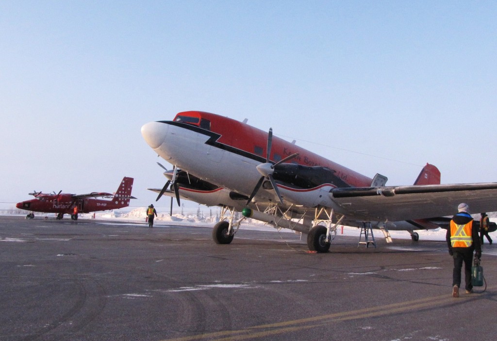
The AEM instrument, often referred to as an EM bird, is towed underneath a Basler BT-67 airplane. The EM instrument induces an electromagnetic field in the seawater under the ice. Combined with a laser altimeter, which measures the distance from the bird to the ice surface, sea-ice thickness can be retrieved.
In order to provide accurate measurements of sea-ice thickness the EM bird must be flown at ~45 feet above the ice surface. This can be very challenging for the pilots, who have to keep the plane steady at 200 feet.
As a result, excellent visibility and lighting conditions are needed to carry out the survey flights. Thanks to our great flight crew from Kenn Borek Air and good weather conditions we have been able to conduct two surveys so far.
Our first survey (green track on the map) covered a wide variety of ice types, including new, first-year and multiyear sea ice. The flight track was flown along two CryoSat orbit ground tracks, with the satellite passing over these tracks on the previous day and following day.
Our second survey (blue track on map) took place off the west coast of Banks Island. We flew a zigzag survey covering regions of new ice immediately offshore of the fast ice edge, with the ice increasing in age and thickness towards the west.
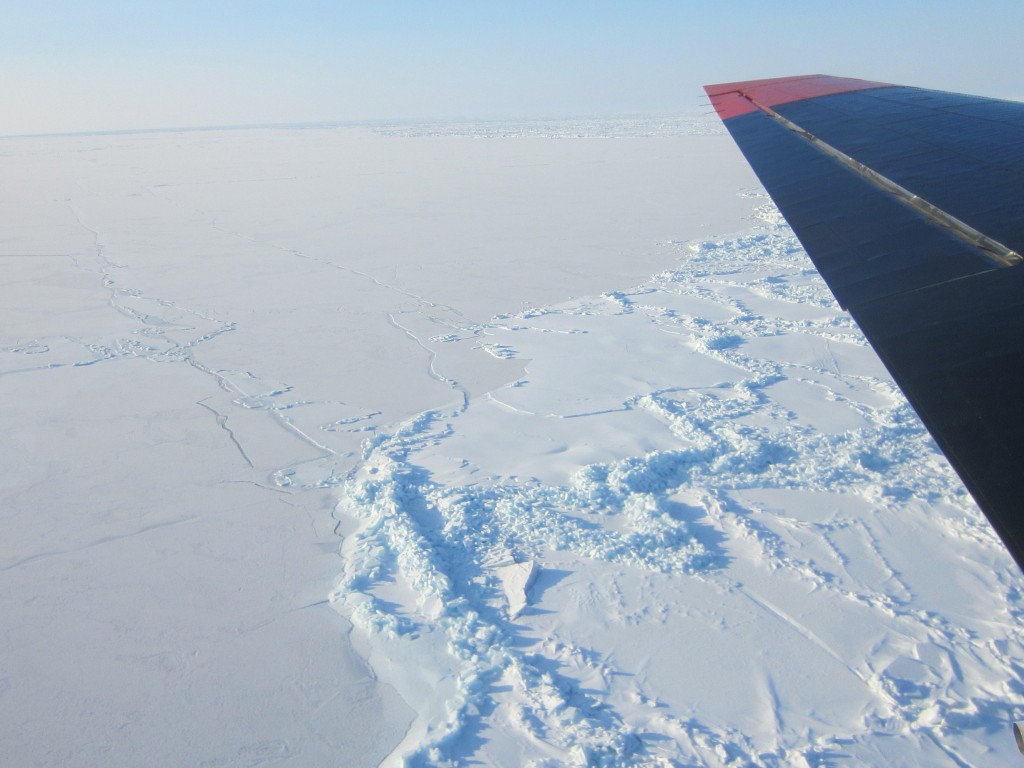
Flying over the boundary between young ice (left) and first-year ice (right). (A. Casey, University of Alberta)
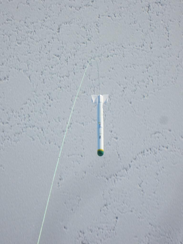
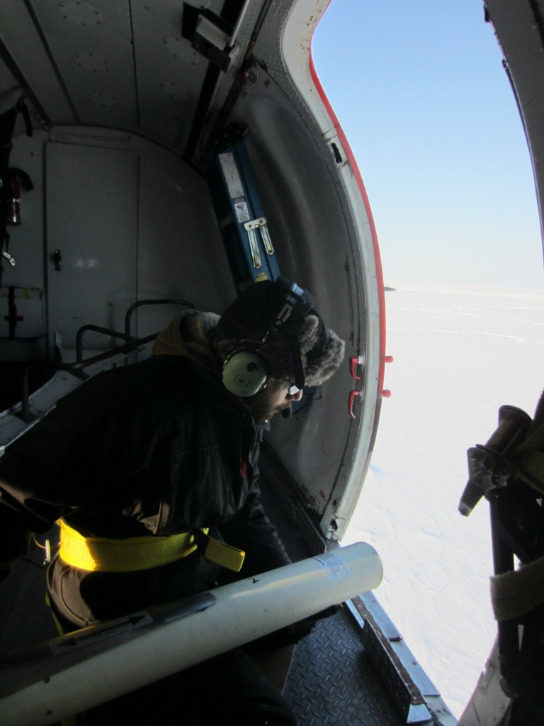
On this flight we deployed five ice beacons onto multiyear ice floes. The beacons are launched out the airplane jump door and glide down to the sea ice on a parachute. The beacons provide hourly GPS locations so that we can track sea-ice drift in this region into the summer months.
Following the buoy drops, we surveyed parallel to the coast of Banks Island, repeating a line flown by NASA’s Operation IceBridge just one day prior. The ice along this segment of the flight was very smooth young ice, formed over the previous few days.
Before returning to Inuvik we made a quick stop in Sachs Harbour to drop off a handheld EM instrument, which has been delivered to CryoVex personnel (Christian Haas and Justin Beckers) who have been on the sea ice for a week at ONR/MIZ Camp 2. The ground team are taking in situ measurements of ice and snow properties in the vicinity of the ice camp that will be used to validate airborne surveys that are planned for the coming days.
In the evening, a second airborne team participating in CryoVex arrived in Inuvik. This group, from DTU, will be operating the ASIRAS instrument (an airborne version of the CryoSat’s radar altimeter).
Today, we attempted a tandem flight over the ONR ice camps. Unfortunately, poor weather and low level clouds forced us to cancel our surveys. We are all hoping for better conditions tomorrow so that we can complete a tandem under-flight of a CryoSat orbit along with over-flights of the in situ measurement line at ONR Camp 2.
From Anne Bublitz (York University) & Alec Casey (University of Alberta), 21 March 2014



Discussion: 2 comments
Very interesting work and glad to know you have great work partners. Stay safe. Love Mom
Great work Alec and team! So glad that your mom shared this with us. What exciting work you are doing. Take care and hope to see you soon. Love to Lisa.