Involving several organisations, a large-scale campaign in support of ESA’s CryoSat mission is underway in the Arctic. Launched in 2010, CryoSat has been gathering data to measure ice-thickness change.
During the campaign, which lasts until the end of March, measurements of sea ice will be acquired from various airborne instruments and from teams on the ice to validate CryoSat’s data products . Flights will be made from northern Canada and from Greenland.
NASA’s ongoing Operation IceBridge campaign uses a P-3 aircraft to survey Earth’s ice and will be contributing to the CryoVex campaign by underflying CryoSat in a few days’ time.
In the meantime, we catch up with Michael Studinger who is the Mission Scientist for Operation Icebridge.

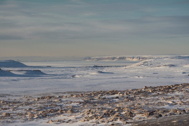
Thule Air Base with North Star Bay and Wolstenholme Fjord in the background. In March the sun is low above the horizon during the day. (Michael Studinger, NASA)
We had a good start of the Arctic 2014 campaign with the P-3 last week.
After deploying to Thule Air Base on Monday and setting up operations there we flew two science missions from Thule before relocating the aircraft to Fairbanks, where we are now. We collected science data along the way from Thule to Fairbanks. In fact, this flight is the highest priority sea ice flight, since it samples sea ice along a basin wide transect across the Arctic Ocean.
This year our schedule is dictated by coordinating work with numerous other teams on the ground and in the air, which drastically reduces the flexibility to optimize flights around weather patterns in order to get the most data. Ironically, the weather along the entire survey line was perfect, which is very rare for such a large area over the Arctic Ocean.
Unless some of the ground and airborne experiments we coordinate with get delayed we plan to return to Thule on Friday March 21, weather and other circumstances permitting.
On 18 March, Michael reported:
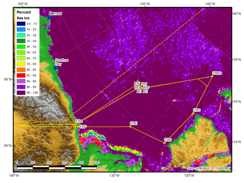
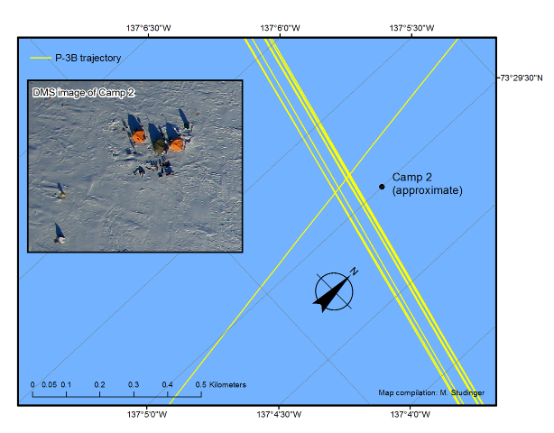
Today’s flight is a new mission plan. It is designed to sample sea ice in the eastern Beaufort Sea in an area which lacked IceBridge coverage prior to 2013, which is also of priority interest to the Canadian Space Agency. We also overfly the CryoVEx/ONR Marginal Ice Zone Camp #2 with 9 overflights and a pass over the groomed skiway. The leg near Banks Island (EBC-EBD) was to survey the very thin ice which typically forms in this region. In addition to Level-1 Requirements SI1 and SI2, it addresses sea ice level 1 projected requirement SIP2b by extending sea ice baseline observations to the southern Beaufort Sea, west of Banks Island.

Mission plan of today’s flight (in yellow) plotted over sea ice concentration data from the University of Bremen 16 March 2014. (Michael Studinger/NASA)
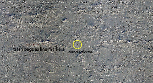
The satellite imagery showed mostly clear conditions in the survey area except for low clouds along the coastal areas. The conditions over the ice camp were excellent and we even encountered leads with very thin ice and small spots of open water along the 15 km long survey line. We clearly saw the corner reflectors and markers as well as the camp and the groomed skiway, which helped as visual aid. The 9 passes were located within a 65 m wide swath. The latest GPS buoy coordinates indicated that the ice floe was moving with around 850 meters/hour. Most of the drift was along the survey line, with only a small northward component, which made it easier to steer the P-3 exactly over the survey line.
We had two windows of LiDAR data collection. The first window started at 03/18/2014 18:20 UTC and ended at 03/18/2014 22:40 UTC. Clouds interrupted data collection. The second window started at 22:50 and ended at 23:18 UTC. In total we collected 4.8 hours of science data. The lasers recorded 100% of the surface returns during that time. We had to turn early at the northern waypoint EBBS in order to make up for time lost during the passes over the ice camp site.

DMS image of one of the western end of the main survey grid showing garbage bag markers and corner reflector. (Dennis Gearhardt/DMS and Michael Studinger/NASA)


Discussion: no comments