From Chris Derksen (Environment Canada)12 April 2013
The final phase of the Canadian SnowSAR campaign is now complete, with successful flights conducted over the Trail Valley Creek study site on 8–9 April.
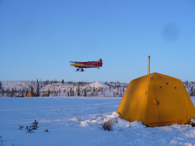
There was a major addition to the experiment – an airborne LiDAR system was also flown, onboard a turbo Otter aircraft on 6–7 April.
The same flight lines were covered by both the SnowSAR and the LiDAR. So, we will have 1 m resolution snow-depth estimates from the LiDAR to compare with the SnowSAR measurements and the blowing snow model simulations that will be conducted at Environment Canada.
The LiDAR flights, funded by NASA, were coordinated by collaborators at theUniversityof Alaska Fairbanks. Four scientists made the long drive fromFairbankstoInuvikto participate in the snow sampling during the campaign period.
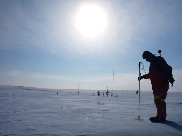
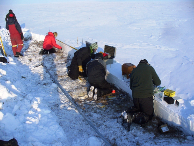
Conditions were cold and windy during most of the ground sampling period. The focus was similar to the previous measurements made in December and March: long snow-depth transects along the flight lines, and snow stratigraphy measurements to understand the layered properties of the snowpack.
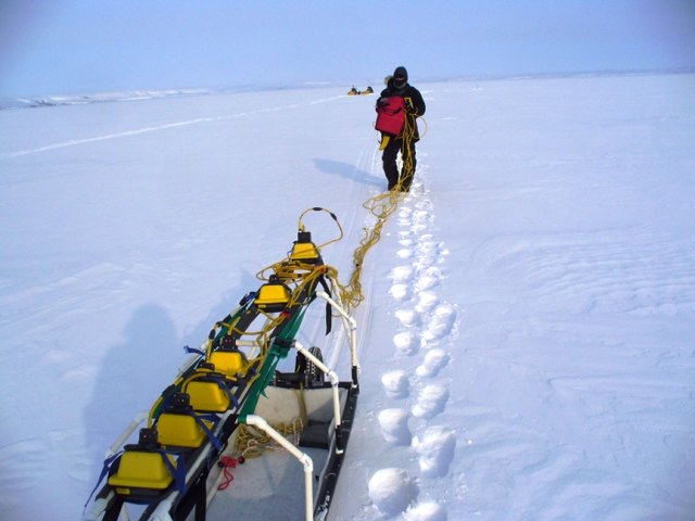
Ground penetrating radar measurements were also performed. It was quite the achievement to keep all the cables untangled!
The Inuvik campaign is now complete and we are in the midst of transferring the SnowSAR toFairbanks,Alaska, after which flights will be conducted near theToolikLakeresearch station.
While the radar is on its way via air, the ground team is presently waiting out a blizzard in Inuvik before making the drive toAlaska. A final blog post will be provided fromAlaskain a few days.
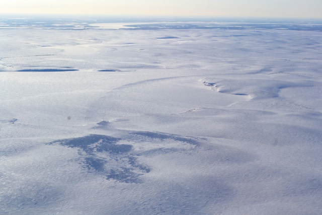
The final photo for this post shows the tundra landscape of the western portion of the Trail Valley Creek watershed. TheMackenzie River, surrounded by forest, can be seen in the distance. If you look closely, you can see a wide path of trampled snow, left by a reindeer herd that recently moved through.


Discussion: no comments