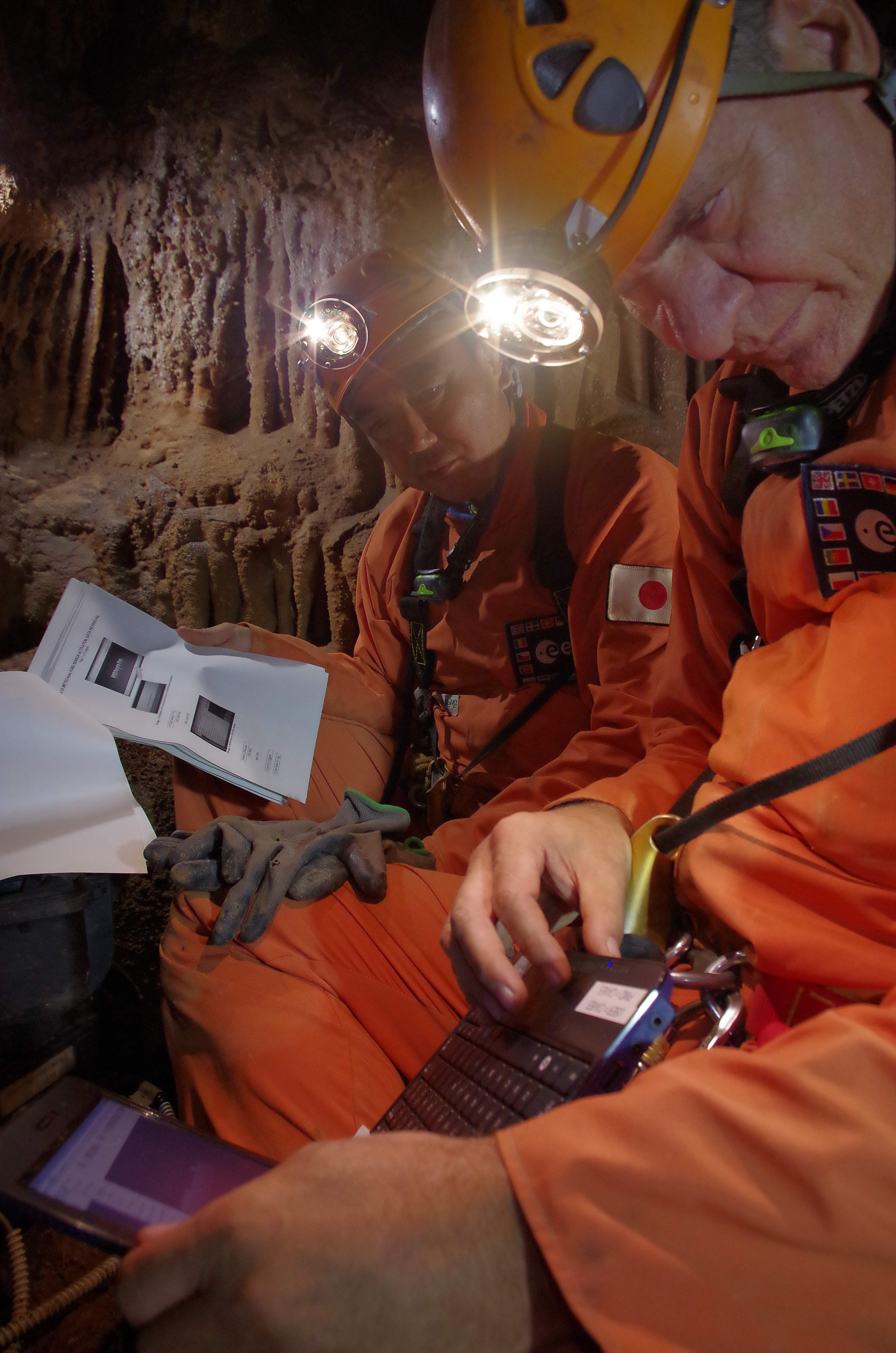
Extended Exploration days are very busy for the CAVEnauts.
Reviewing operations information. Credits: ESA/V.Crobu
They have to perform science, test technology, document their exploration and manage the campsite. This requires a careful time-management, possible using a a timeline which is not too different from the one astronauts use on the International Space Station. Cave exploration adds a lot of “movement in space” to the mix which is highly time-consuming and physically demanding. In such a context, a cave map indicating reference and activity points is necessary to perform efficiently.
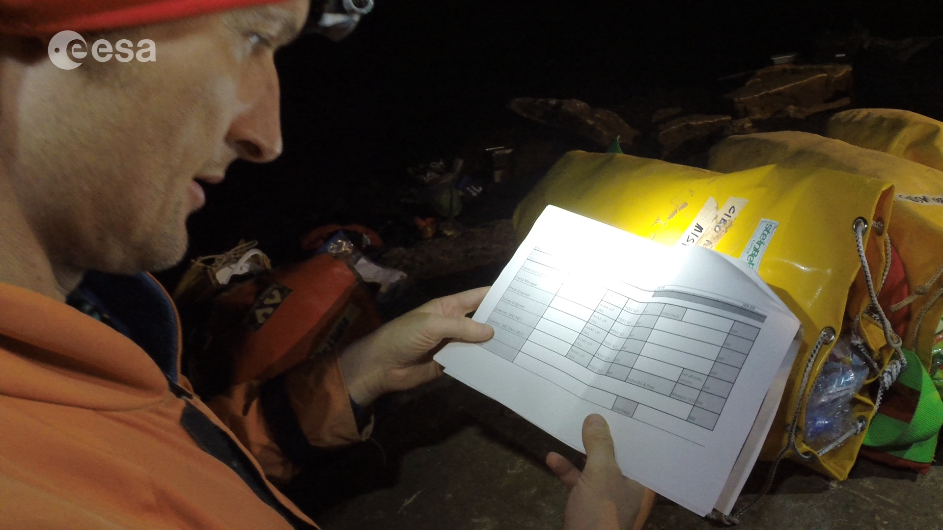
A paper copy of a simplified timeline and a map, printed on waterproof paper, is given to each crew member as reference. The CAVEnauts also have procedures for scheduled
Time line of underground activities. Credits: ESA/S.Sechi
activities, the Equipment Manifest that includes all items brought to the cave and the Daily Stowage Notes that lists all the equipment needed for a day’s exploration. This has long proven to be a reliable way to have all the information needed and it is still the first method to deliver operations information to the CAVES participants.
Recent technology advancements, however, may soon provide alternatives. A tablet-based graphical tool showing the timeline of the activities scheduled for the day including a map of the cave with all the Points Of Activity (POA) could for example be made. Each activity on the timeline could also be associated with its POA on the map, with the Procedure that has to be executed, the Data Entry Table, and with space-like Execution Notes, including additional information for the crew. In addition, from each POA, it could be possible to list all the activities performed at that location in a specific day and see their location in the timeline.In the 2014 edition of ESA’s CAVES we tried, for the first time, to handle underground activities with operational tools, including two mission tablets. They were protected by a ruggedized cover and equipped with a prototype application called CAVES MApp. CAVES MApp is intended to guide the crew through their activities at the campsite and during progression that includes all the features listed above. Activities are integrated in a database that can be viewed as a timeline or in a map on the screen.
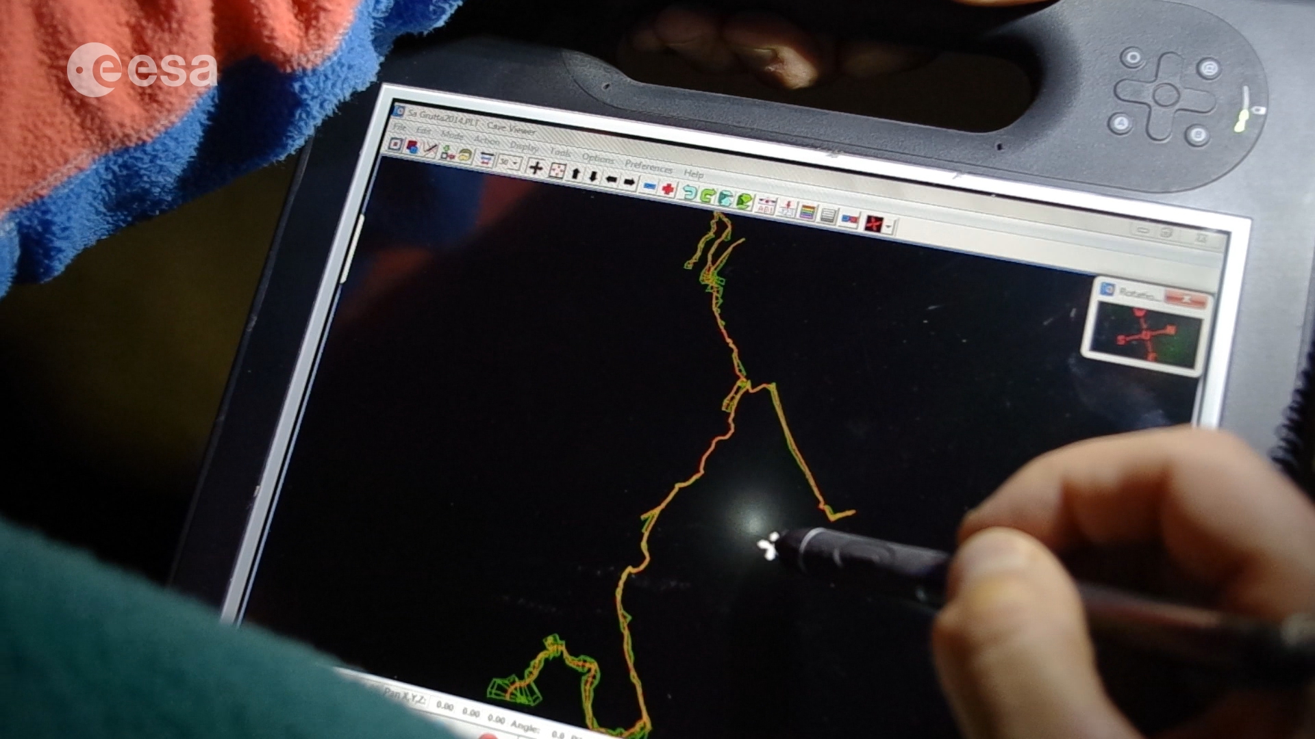
Tablets with CAVES MApp. Credits: ESA/S.Sechi
Thanks to a miniature server, an in-cave wi-fi network is also available to connect the two devices. This allows backups of the Mission Folder in a few clicks that contains the daily scientific data downloaded from the instruments or added manually by a CAVEnaut. All the files are compressed into a zip file that is sent to the server over wi-fi and stored on the server’s SD card. From there the compressed archive is also copied to a USB drive ready to be sent to CAVES Mission Control for checking and first data analysis.
Alessandro Boesso, CAVES operations engineer
Alexandros Cardaris, CAVES OPS infrastructure software developer
Discussion: no comments