Measuring precipitation remotely is still a challenge, but yet important to understand Earth processes. For example, snowfall is crucial for the water cycle and an important component of the climate system, particularly in high latitudes.
To shed new light on precipitation in the Arctic and to explore a possible new measuring technique that could be used from space, scientists travelled to Iqaluit in Canada to carry out a radar snow experiment. The basic idea was to use multiple airborne sensors simultaneously, to disentangle the components of complex cloud and precipitation processes.
A team from the National Research Council (NRC) and Environmental Climate Change Canada (ECCC) spent several months preparing before the start of the campaign in November 2018. Iqaluit is home to one of ECCC’s Arctic Weather Science supersites, which is equipped with an extensive array of in-situ and remote-sensing sensors.
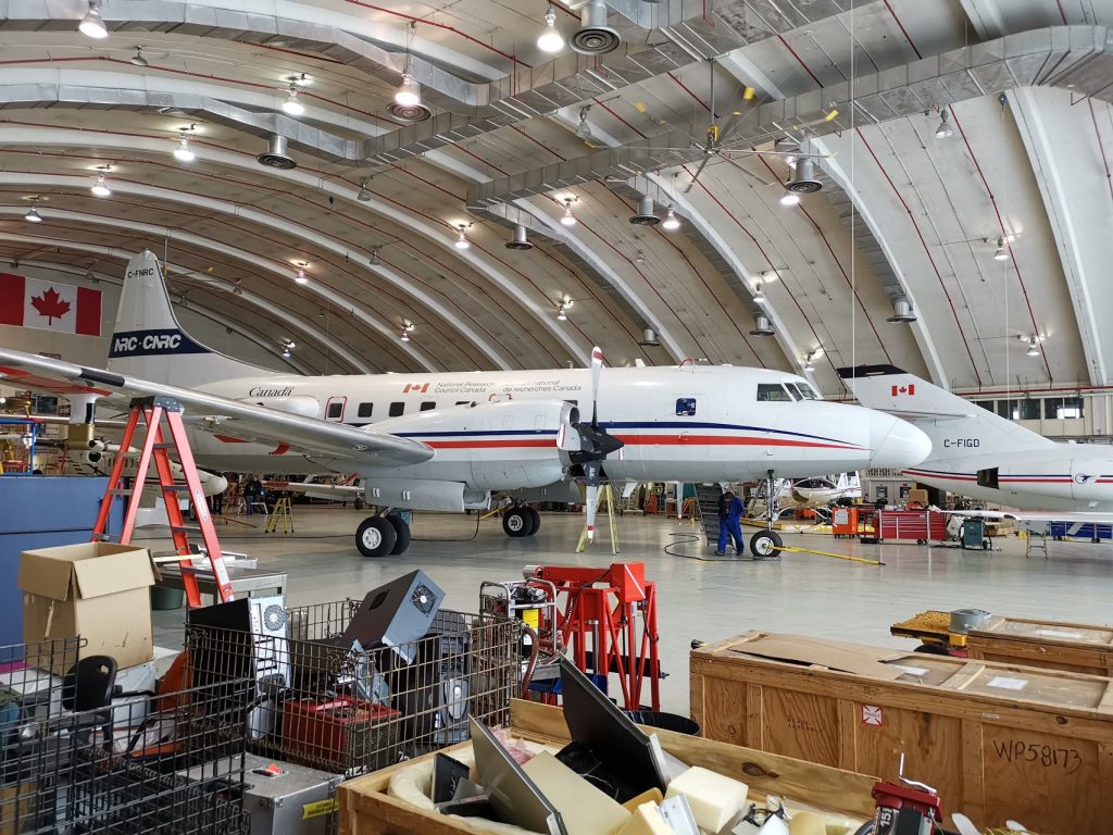
Aircraft in Hanagr in Ottawain being prepared for the campaign. (ESA)
The scientists used a Convair 580 aircraft equipped with a range of sensors, including several radars and lidars. While flying, these instruments could be used to measure cloud particles and precipitation by monitoring how radar and lidar pulses bounced off ice crystals and water droplets.
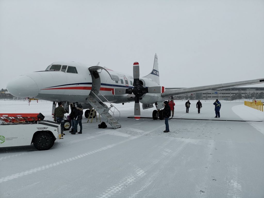
Getting ready for takeoff. (ESA)
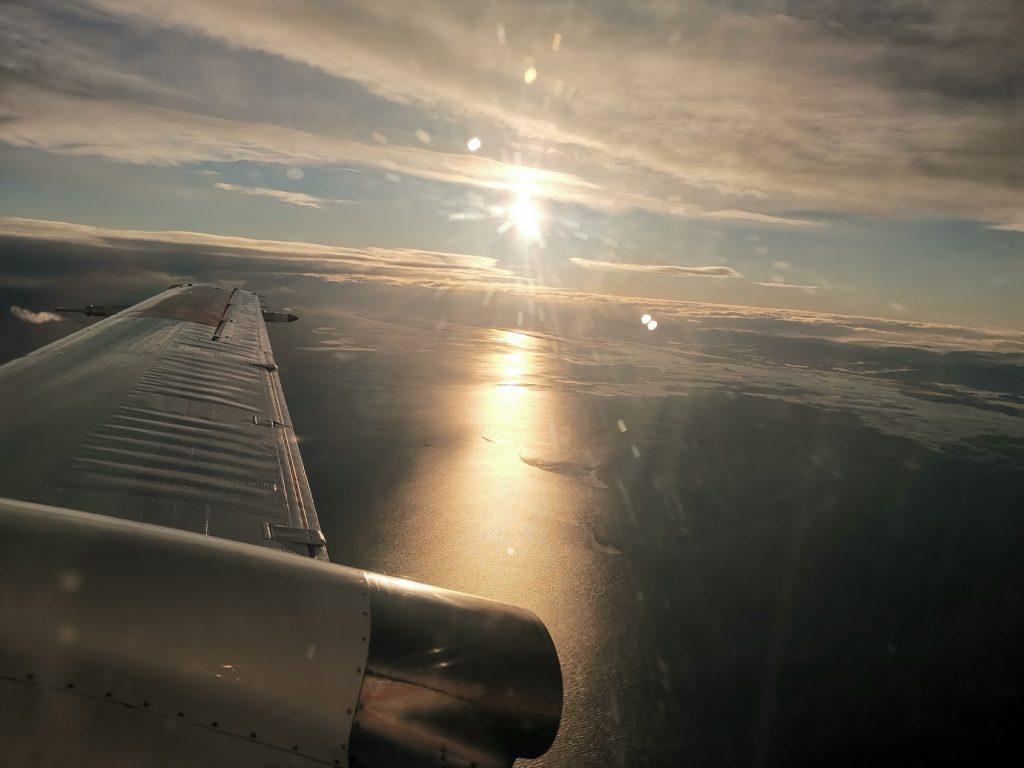
On route to Iqaluit .(ESA)
On route from Ottawa to Iqaluit, the plane was also used to measure high cirrus clouds and low-level mixed-phase clouds.
With temperatures dropping to –30° C overnight, the crew did a great job heating the aircraft so that the instruments didn’t freeze while the plane was on the ground. The morning of the first campaign flight was very cold and windy, but everyone got started and the team were able to sample a band of rain that was part of a deep depression in the area.
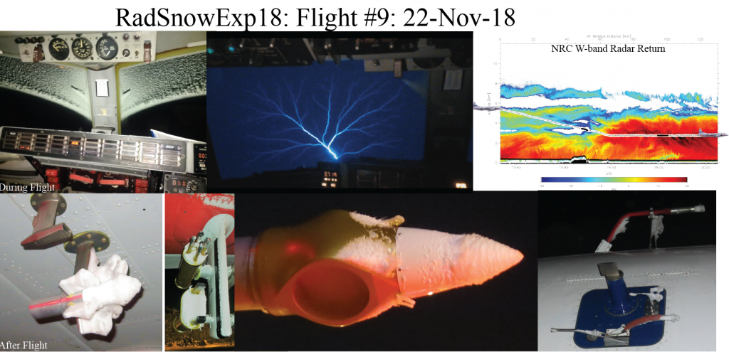
Ice, thunder and instruments covered with ice. (NRC)
The team sampled the band of rain was various altitudes and collected a unique and rich dataset of the weather system. Back at the airport, Iqaluit welcomed the team with high winds making the temperatures drop to a bitter –44° C. Again the crew did a great job securing the aircraft and all instruments.
Over the following two weeks, the aircraft flew two flights along NASA’s Global Precipitation Measurement satellite track, one flight along NASA’s CloudSat track and one flight along ESA’s Aeolus satellite track.
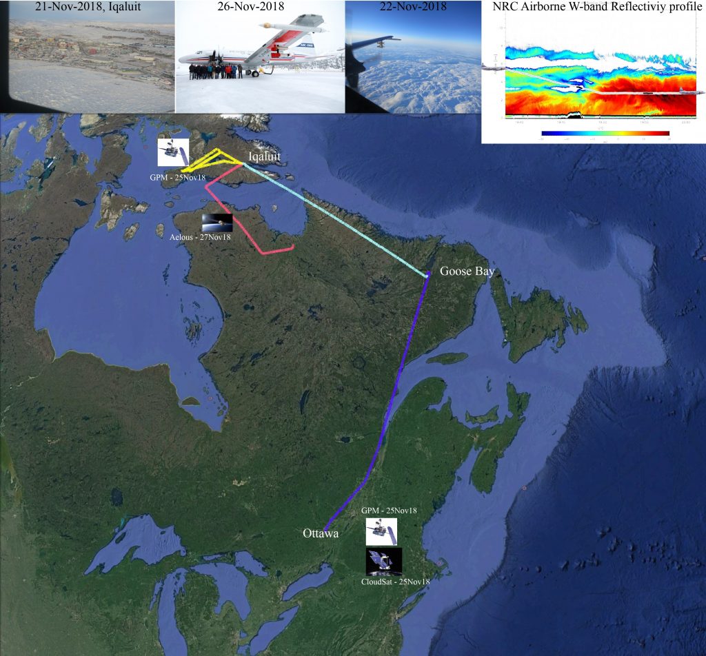
Flight tracks, photos of Iqaluit city and teams, and profile of W-band radar reflectivity during a cyclone. (NRC)
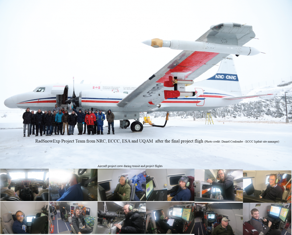
Cold but happy team. (NRC)
The campaign also provides guidance for a future precipitation study called RainCast, which started in January 2019. The RainCast study will exploit the measurements taken and explore future satellite mission concepts focusing on enhancing the current capability in snow and high-latitude precipitation.
Post from: Dirk Schuettemeyer (ESA Campaign Coordinator) & Mengistu Wolde (NRC)


Discussion: no comments