


Cryovex campaigns are carried out every 1–2 years and involve a lot of preparation and coordination between different operations teams – from Mission Control to Ground Control – to ensure that the people out on the ice fields or those operating systems on aircraft are able to maximise the scientific return of their experiments.
Validations campaigns are planned months in advance. The early warning to the mission operations team is usually given at Quality Working Group meetings, a forum for the main mission experts that focus on the end quality of the products, generated by the on-board instrument and subsequent ground processing.
At that point, all major activities on the satellite or ground segment are scheduled earlier than usual. This is to make sure that around the time of the campaign there aren’t any particular events are on the agenda such as the release of an updated ground processor or special orbit manoeuvres. The latter is always difficult to accomplish seamlessly because changes in orbit depend on solar activity, which is often unpredictable. In fact, one of the main goals of the campaigns is to be able to fly the satellite and the airborne systems directly underneath and, when possible, also have also people on the ice just beneath the line of flight. In ‘sandwich formation’, we say.
As can one imagine, precision and timing is fundamental to the success of these operations.
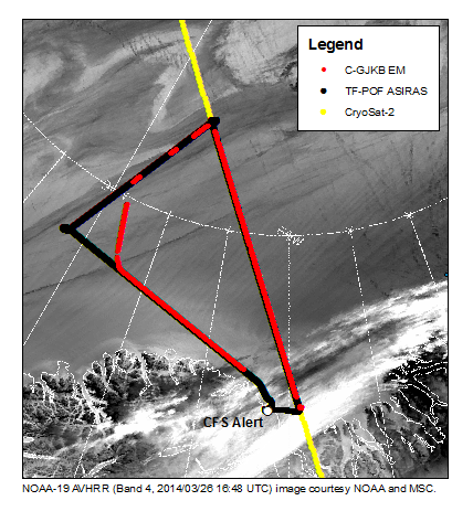
Flight planning: the yellow line is CryoSat’s track, the red line is aircraft towing the EM-Bird and the black track is the aircraft carrying the ASIRAS instrument. (A.Casey-U.Alberta)
As the campaign start date draws near, we look at the orbit profile and the different options for performing manoeuvres, if necessary trying to synchronise the start of an orbit cycle with the start of the campaign.
But of course, in operations as in other campaigns, the plan never goes beyond the first contact. For Cryovex, the enemy can be space weather, ground weather, space debris, ground segment problem, or worst of all, satellite anomalies. Fortunately, CryoSat is very stable and has experienced very few anomalies that have affected the acquisition of the science data. Actually, to date, the Cryovex campaigns have not been affected by any on-board problems. Keep your fingers crossed for the future, please!
During this year’s campaign we had a couple of skirmishes that caused the operations team some extra activities. In parallel with Cryovex, the mission this year was asked to also support some special data acquisitions for the AirSWOT campaign, which required some additional new acquisition zones to be set up and a lot of ground simulations and checks to be carried out to ensure that no the satellite or ground constraints are violated such as thermal, power, memory or instrument specific issues.
The mission planners at ESA’s ESRIN establishment in Italy are in charge of making sure that all this can be accomplished before sending the request to the satellite operations team in ESA’s ESOC in Germany. They conduct their own checks, not because they do not trust the mission planners, but just because it is common practice in our business to carry out independent checks.
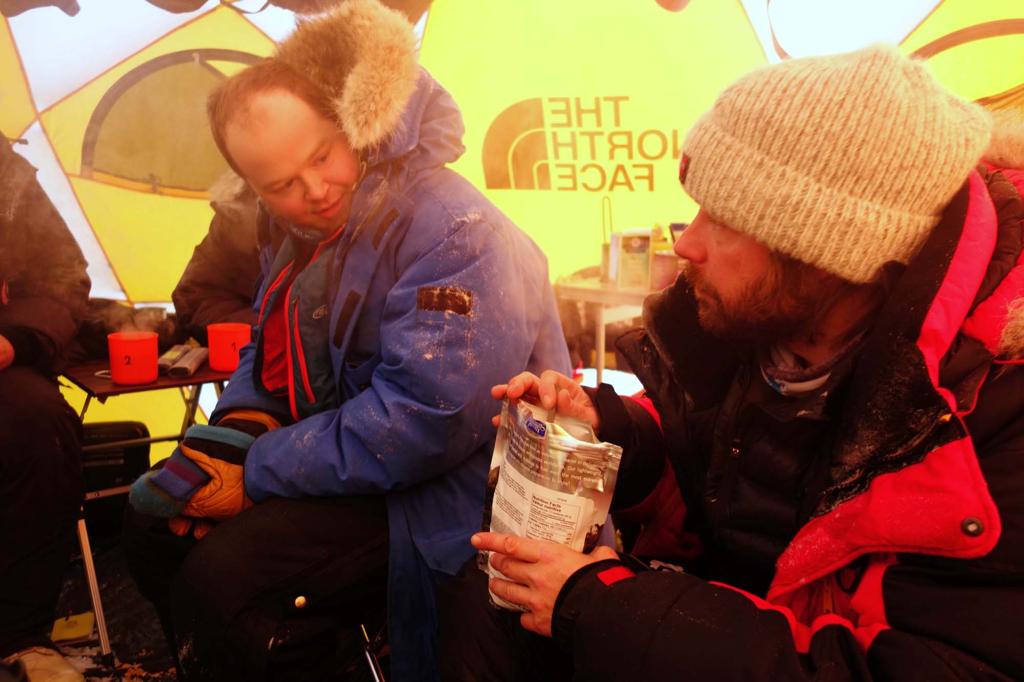
Some of the ground team huddled up in one of the tents out on the sea ice. (M. Cornelissen)
This year we also received an unusual request from colleagues on the ice. It was about identifying, through satellite data, where the sea-ice thickness was thick enough around an area near Alert. This information together with other data was crucial for identifying a safe field camp and to have the planes land on secure sea-ice tracks.
This seemed to be a particularly tricky request. However, work that we have been carrying out behind the scenes with the University College of London (UCL) since the beginning of this year involves producing sea-ice thickness maps in quasi realtime with the objective of releasing sea-ice thickness data on the internet. This information can be used by handful applications from those that are purely scientific to commercial application like supporting ship routes over the Artic basin.
Strangely enough, it appeared, for the first time that it was going to be the satellite giving a hand to the scientists placed on ice and not vice versa. We immediately started to plan a new satellite operation mode over the vast area (radius of hundreds of kms) where the camp could potentially be placed.
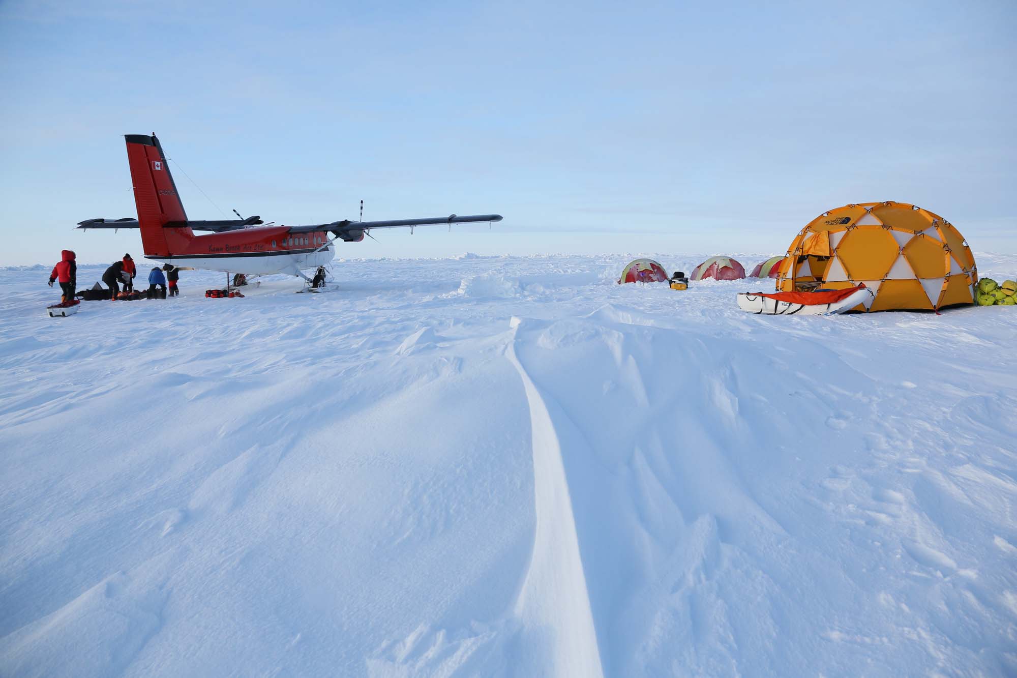
Base camp on the sea ice north of Greenland. (M. Cornelissen)
All planning, checking and simulations went well and in a matter of hours, we then sent the plan to the satellite just before it passed over the requested zone. We acquired and processed the data rapidly on ground and made it available to UCL for further processing. The information was then passed to the people on the ice field.
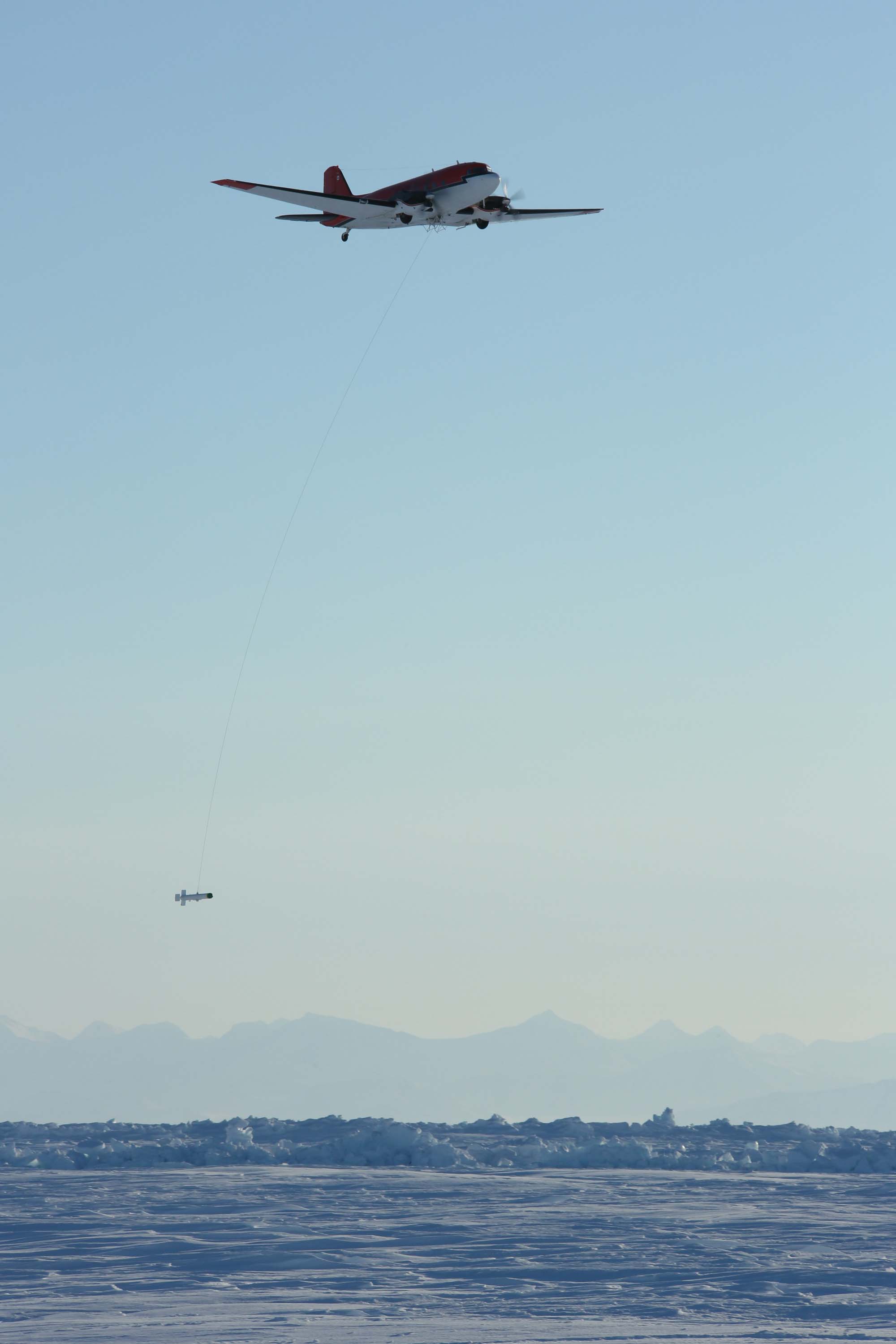
Aircraft towing the EM-bird over sea ice. (M. Cornelissen)
We managed to provide the right information at the right time thanks to the skills, the coordination and the team spirit of all the operations people that works for CryoSat.
After all, another mission success!
Post from: Nic Mardle – CryoSat Satellite Operation Manager & Tommaso Parrinello – CryoSat Mission Manager.
Discussion: no comments